Bus Station, Preston
Map
Facts and practical information
Preston bus station is the central bus station in the city of Preston in Lancashire, England. It was built by Ove Arup and Partners in the Brutalist architectural style between 1968 and 1969, to a design by Keith Ingham and Charles Wilson of Building Design Partnership with E. H. Stazicker. ()
Coordinates: 53°45'42"N, 2°41'45"W
Address
Town CentrePreston
ContactAdd
Social media
Add
Getting there by public transportation
Public transportation stops near this location
- Bus
- Train
 Bus
Bus
- Calculate routeBus Station 2 min walk
- Calculate routePreston Bus Station 2 min walk
- Calculate routePreston 17 min walk
Day trips
Bus Station – popular in the area (distance from the attraction)
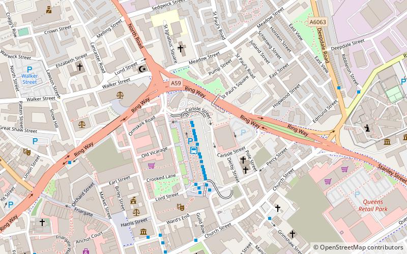
Nearby attractions include: Harris Museum, St George's Shopping Centre, Covered Market, Fishergate Shopping Centre.


Frequently Asked Questions (FAQ)
Which popular attractions are close to Bus Station?
Nearby attractions include St Paul's Church, Preston (3 min walk), Carey Baptist Church, Preston (3 min walk), Preston Guild Hall, Preston (4 min walk), Syro-Malabar Cathedral of St Alphonsa, Preston (4 min walk).
How to get to Bus Station by public transport?
The nearest stations to Bus Station:
Bus
Train
Bus
- Bus Station • Lines: 109, 111, 40, 41 (2 min walk)
- Preston Bus Station (2 min walk)
Train
- Preston (17 min walk)