Hornchurch Marshes, Dagenham
Map
Facts and practical information
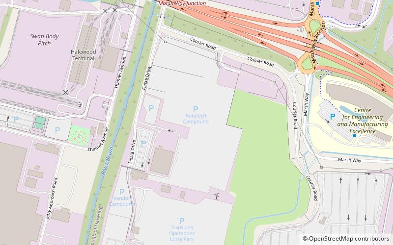
Hornchurch Marshes is a name for the marshes and an industrialised zone on the northern bank of the River Thames in Hornchurch; it is within the London Borough of Havering, in London, England. It includes the eastern part of the Ford Dagenham estate and turbine 2 of the Dagenham wind turbines. The land has been contaminated from landfill and industrial use. It is now an area of regeneration called Beam Reach and is the location of the Centre for Engineering and Manufacturing Excellence. It forms part of the London Riverside section of the Thames Gateway redevelopment area. ()
Coordinates: 51°31'5"N, 0°9'50"E
Address
Havering (South Hornchurch)Dagenham
ContactAdd
Social media
Add
Getting there by public transportation
Public transportation stops near this location
- Bus
- Train
 Bus
Bus
- Calculate routeCeme 8 min walk
- Calculate routeMarsh Way 9 min walk
- Calculate routeFairview Industrial Park 11 min walk
- Calculate routeSouth Street 15 min walk
- Calculate routeDagenham Dock 24 min walk
- Calculate routeRainham 30 min walk
Day trips


Frequently Asked Questions (FAQ)
Which popular attractions are close to Hornchurch Marshes?
Nearby attractions include Beam Reach, Dagenham (7 min walk), Beam Park, Dagenham (14 min walk).
How to get to Hornchurch Marshes by public transport?
The nearest stations to Hornchurch Marshes:
Bus
Train
Bus
- Ceme • Lines: 174 (8 min walk)
- Marsh Way • Lines: 174 (9 min walk)
Train
- Dagenham Dock (24 min walk)
- Rainham (30 min walk)