Beam Reach, Dagenham
Map

Map

Facts and practical information
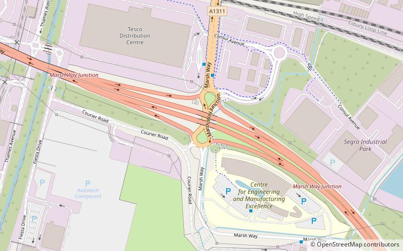
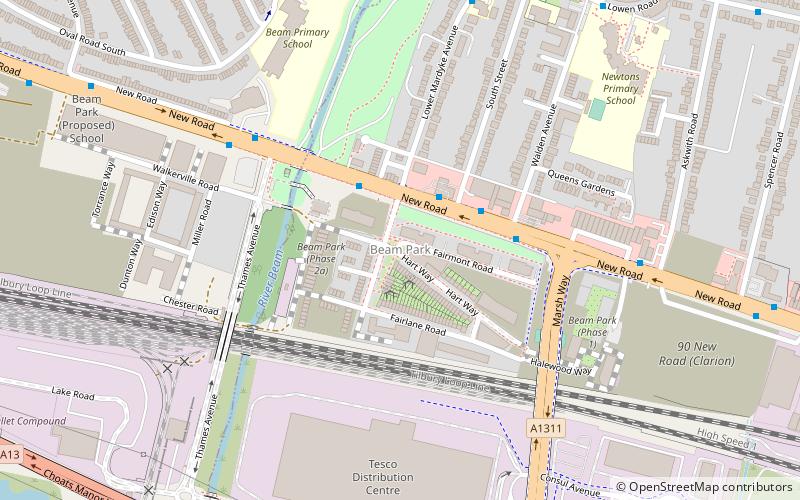
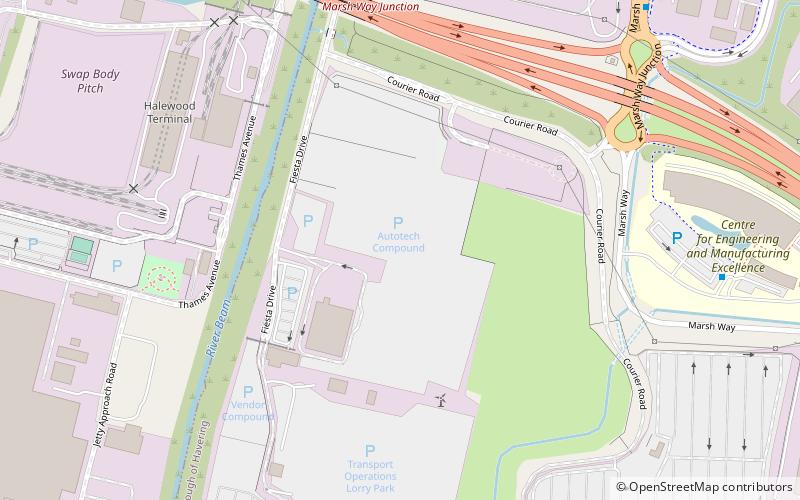
Beam Reach is a redevelopment area in London, England and part of the London Riverside section of the Thames Gateway. It is an industrial area adjacent to the new neighbourhood of Beam Park. ()
Coordinates: 51°31'12"N, 0°10'8"E
Address
Havering (South Hornchurch)Dagenham
ContactAdd
Social media
Add
Day trips
Beam Reach – popular in the area (distance from the attraction)
Nearby attractions include: Church of St Helen and St Giles, Rainham Hall, St John's Parish Church, Rainham War Memorial.
Frequently Asked Questions (FAQ)
Which popular attractions are close to Beam Reach?
Nearby attractions include Hornchurch Marshes, Dagenham (7 min walk), Beam Park, Dagenham (10 min walk), Rainham War Memorial, Dagenham (24 min walk).
How to get to Beam Reach by public transport?
The nearest stations to Beam Reach:
Bus
Train
Bus
- Marsh Way • Lines: 174 (3 min walk)
- Ceme • Lines: 174 (5 min walk)
Train
- Rainham (25 min walk)
- Dagenham Dock (27 min walk)


