Deutsche Evangelische Christuskirche, London
Map
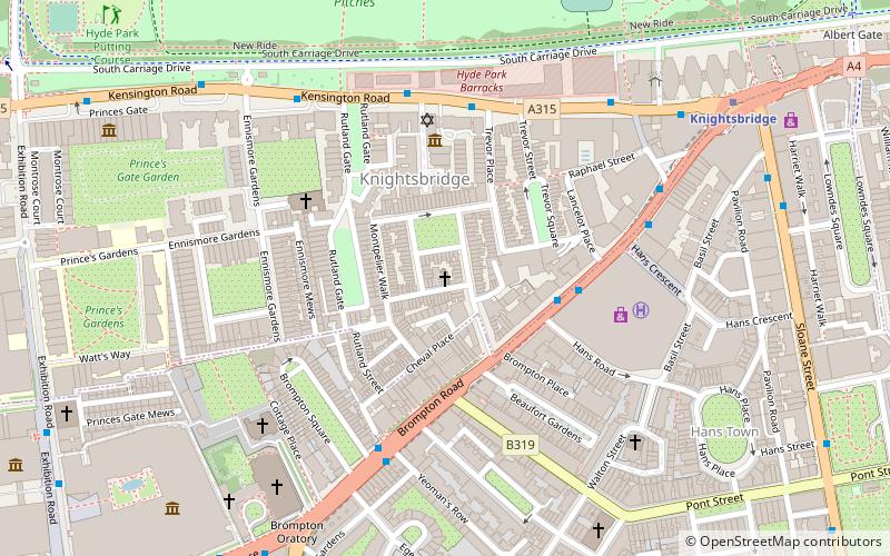
Map

Facts and practical information
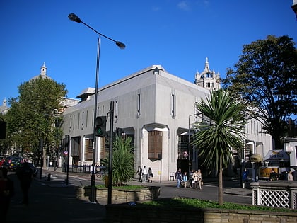
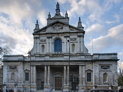
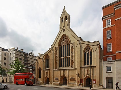
The Deutsche Evangelische Christuskirche is a church on Montpelier Place in Knightsbridge, London. German Christian theologian Julius Rieger has described it as the most significant German church in London. ()
Coordinates: 51°29'59"N, 0°9'59"W
Address
18 Montpelier PlaceCity of Westminster (Knightsbridge and Belgravia)London
ContactAdd
Social media
Add
Day trips
Deutsche Evangelische Christuskirche – popular in the area (distance from the attraction)
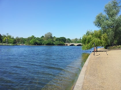
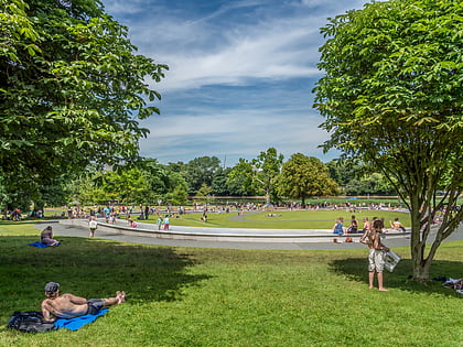
Nearby attractions include: Victoria and Albert Museum, Sloane Street, The Serpentine, Diana.
Frequently Asked Questions (FAQ)
Which popular attractions are close to Deutsche Evangelische Christuskirche?
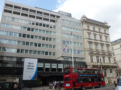
Nearby attractions include 2–8a Rutland Gate, London (3 min walk), Knightsbridge, London (3 min walk), Trevor Square, London (3 min walk), Westminster Synagogue, London (3 min walk).
How to get to Deutsche Evangelische Christuskirche by public transport?
The nearest stations to Deutsche Evangelische Christuskirche:
Bus
Metro
Train
Ferry
Bus
- Knightsbridge Barracks • Lines: 23, 452, 52, 702, 9, N9 (4 min walk)
- Rutland Gardens • Lines: 23, 452, 52, 702, 9, N9 (4 min walk)
Metro
- Knightsbridge • Lines: Piccadilly (7 min walk)
- South Kensington • Lines: Circle, District, Piccadilly (13 min walk)
Train
- London Victoria (26 min walk)
Ferry
- Cadogan Pier • Lines: Rb6 (30 min walk)
- Battersea Power Station Pier • Lines: Rb1, Rb2, Rb6 (36 min walk)

 Tube
Tube

