Wrexham County Borough, Wrexham
Facts and practical information
Wrexham County Borough is a county borough in the north-east of Wales. It borders England to the east and south-east, Powys to the south-west, Denbighshire to the west and Flintshire to the north-west. The county borough has a population of nearly 135,000 inhabitants, with around 63,000 residing in either the town of Wrexham, the surrounding conurbation of urban villages around Wrexham, or the two other urban towns in the county borough, Chirk and Holt. The remainder live to the south and east of the town in more rural areas, including the county borough's large salient into the Ceiriog Valley. The area has strong links with coal-mining and was formed on 1 April 1996 following the enactment of the Local Government Act 1994. Borough status was inherited from the town of Wrexham, granted over 150 years ago. Most of the area was previously part of the district of Wrexham Maelor – with several communities coming from Glyndŵr – in the county of Clwyd. ()
- Bus
- Train
 Bus
Bus
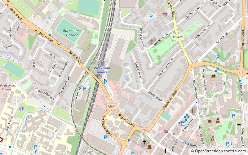
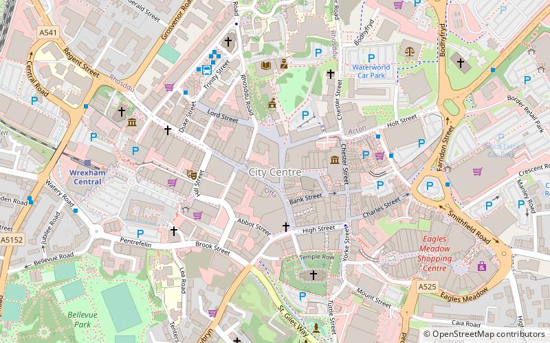
- Calculate routeWrexham General 2 min walk
- Calculate routeWrexham Central 7 min walk
- Calculate routeWrexham Bus Station - Stand 1 6 min walk
- Calculate routeWrexham Bus Station 6 min walk
Wrexham County Borough – popular in the area (distance from the attraction)
Nearby attractions include: Eagles Meadow, St Giles' Church, Bersham Ironworks, Techniquest Glyndwr.


Frequently Asked Questions (FAQ)
Which popular attractions are close to Wrexham County Borough?
How to get to Wrexham County Borough by public transport?
Train
- Wrexham General (2 min walk)
- Wrexham Central (7 min walk)
Bus
- Wrexham Bus Station - Stand 1 • Lines: T3, Wrexham / Llangollen Express (6 min walk)
- Wrexham Bus Station (6 min walk)