Meols Meadows, Greasby

Map
Facts and practical information
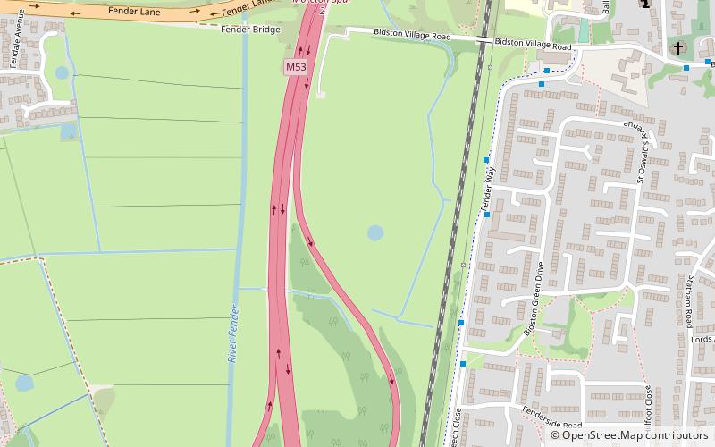
Meols Meadows is a 7.1 ha Site of Special Scientific Interest on the Wirral Peninsula, England. It is situated near to the town of Moreton and 8 km north west of Birkenhead. The site was notified in 1988 due to its biological features which is predominantly damp unimproved neutral grassland, and is the best example of this MG5 community in Merseyside and Greater Manchester. ()
Coordinates: 53°24'6"N, 3°5'13"W
Address
Greasby
ContactAdd
Social media
Add
Day trips
Meols Meadows – popular in the area (distance from the attraction)
Nearby attractions include: Bidston Windmill, Leasowe, Flaybrick Memorial Gardens, St Oswald's Church.
Frequently Asked Questions (FAQ)
Which popular attractions are close to Meols Meadows?
Nearby attractions include St Oswald's Church, Liverpool (10 min walk), Bidston, Liverpool (10 min walk), Bidston Hill, Liverpool (16 min walk), Bidston Windmill, Liverpool (16 min walk).
How to get to Meols Meadows by public transport?
The nearest stations to Meols Meadows:
Train
Train
- Bidston (16 min walk)
- Leasowe (18 min walk)


