Cwrt Herbert, Neath

Map
Facts and practical information
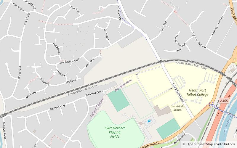
Cwrt Herbert, also sometimes called Court Herbert, is a small community to the east of Neath Abbey in south Wales It developed as a mining village servicing the Cwrt Herbert Colliery in the mid 19th century The colliery closed in 1929 and the village but is now predominantly a dormitory for the town of Neath ()
Coordinates: 51°40'1"N, 3°49'1"W
Address
Neath
ContactAdd
Social media
Add
Day trips
Cwrt Herbert – popular in the area (distance from the attraction)
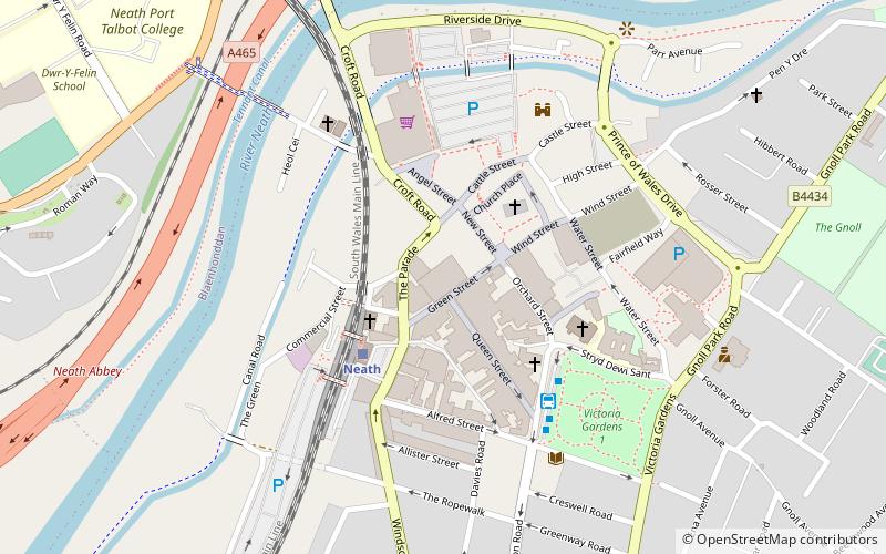
Nearby attractions include: Neath Abbey, Neath Town Hall, Neath Castle, Neath Indoor Market.
Frequently Asked Questions (FAQ)
Which popular attractions are close to Cwrt Herbert?
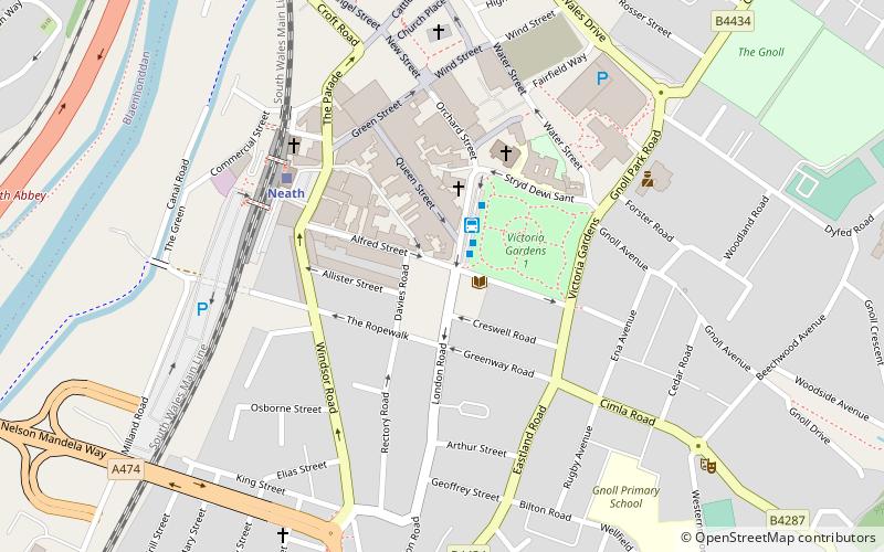
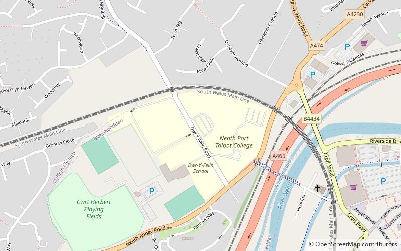
Nearby attractions include Neath Port Talbot College, Neath (5 min walk), Nidum, Neath (5 min walk), Neath Indoor Market, Neath (15 min walk), Neath Town Hall, Neath (15 min walk).
How to get to Cwrt Herbert by public transport?
The nearest stations to Cwrt Herbert:
Train
Bus
Train
- Neath (14 min walk)
Bus
- Neath Bus Station (18 min walk)


