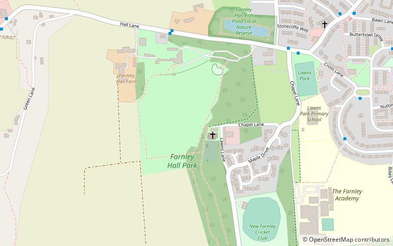
Farnley Hall Park, Leeds
Map

Map

Facts and practical information
Farnley Hall Park is a park in Farnley, Leeds, England, approximately four miles from the city centre. 16 hectares in size, it lies in the grounds of Farnley Hall and hosts the main base of Leeds City Parks. ()
Elevation: 417 ft a.s.l.Coordinates: 53°47'9"N, 1°37'32"W
Address
WortleyLeeds
ContactAdd
Social media
Add
Day trips
Farnley Hall Park – popular in the area (distance from the attraction)
Nearby attractions include: Christ Church, Armley Park, Swinnow, Gamble Hill.
Frequently Asked Questions (FAQ)
How to get to Farnley Hall Park by public transport?
The nearest stations to Farnley Hall Park:
Bus
Bus
- Hall Lane Chapel Lane • Lines: 15 (6 min walk)
- Whincover Drive • Lines: 15 (7 min walk)


