Knightsland Farm House, Monken Hadley Common
Map
Facts and practical information
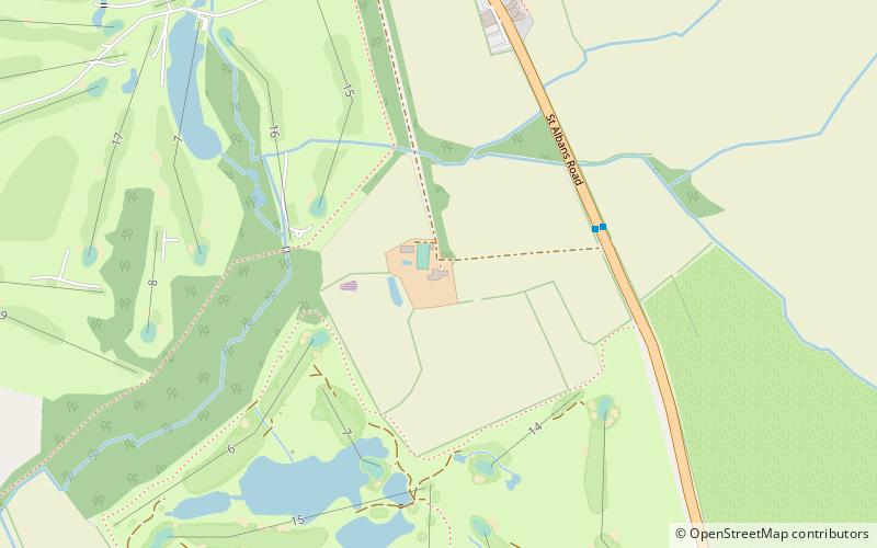
Knightsland Farm House is a Grade II* listed farmhouse in South Mimms in Hertfordshire, England. It dates from the 16th century, with later additions, and is timber-framed with a brick casing. The associated barn is also Grade II* listed. ()
Coordinates: 51°40'18"N, 0°13'3"W
Address
Monken Hadley Common
ContactAdd
Social media
Add
Getting there by public transportation
Public transportation stops near this location
- Bus
 Bus
Bus
- Calculate routeKnightsland Farm 4 min walk
- Calculate routeGreen Dragon PH 8 min walk
- Calculate routeGolf Course 19 min walk
Day trips


Frequently Asked Questions (FAQ)
How to get to Knightsland Farm House by public transport?
The nearest stations to Knightsland Farm House:
Bus
Bus
- Knightsland Farm • Lines: 614 (4 min walk)
- Green Dragon PH • Lines: 614 (8 min walk)