Beswick, Manchester
Map
Facts and practical information
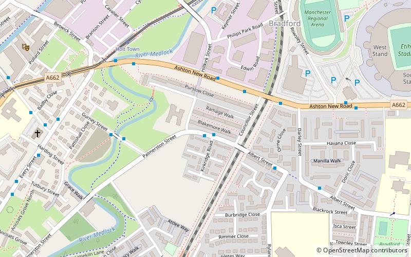
Bradford-with-Beswick is an inner city area in Manchester, England. It consists of the ancient townships of Bradford, Manchester, and Beswick, Manchester, both in the ancient parish of Manchester and hundred of Salford. ()
Coordinates: 53°28'52"N, 2°12'32"W
Address
BradfordManchester
ContactAdd
Social media
Add
Getting there by public transportation
Public transportation stops near this location
- Bus
- Tram
- Train
 Bus
Bus
- Calculate routeHolt Town 6 min walk
- Calculate routeEtihad Campus 11 min walk
- Calculate routeNew Islington 12 min walk
- Calculate routeVelopark 17 min walk
- Calculate routeAlan Turing Way/Philips Park Road 14 min walk
- Calculate routeArdwick 19 min walk
- Calculate routeAshburys 22 min walk
- Calculate routeManchester Piccadilly 24 min walk
Maps MetrolinkMaps
 Metrolink / Rail
MetrolinkMapsMetrolink / RailDay trips


Frequently Asked Questions (FAQ)
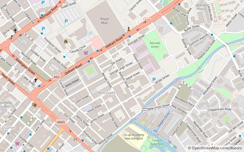
Which popular attractions are close to Beswick?
Nearby attractions include Church of All Souls, Manchester (8 min walk), Hope Mill, Manchester (9 min walk), New Islington, Manchester (15 min walk), Great Ancoats Street, Manchester (18 min walk).
How to get to Beswick by public transport?
The nearest stations to Beswick:
Tram
Bus
Train
Tram
- Holt Town • Lines: Asht, Eccl, Mcuk (6 min walk)
- Etihad Campus • Lines: Asht, Eccl, Mcuk (11 min walk)
Bus
- Alan Turing Way/Philips Park Road • Lines: 53 (14 min walk)
Train
- Ardwick (19 min walk)
- Ashburys (22 min walk)