Benhill, Banstead
Map
Facts and practical information
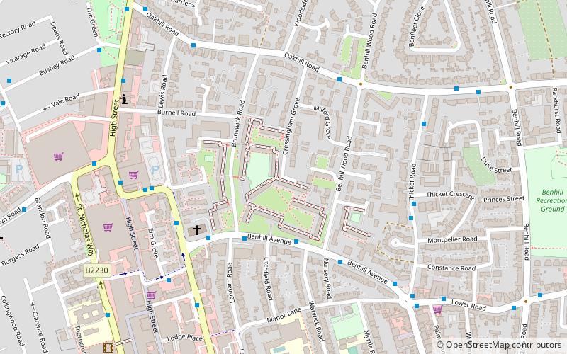
Benhill is a council housing estate in Sutton, London, originally built in the 1960s upon woodland. It is east of Sutton High Street. The estate was later renovated and regenerated. ()
Coordinates: 51°22'5"N, 0°11'24"W
Address
Sutton (Sutton Central)Banstead
ContactAdd
Social media
Add
Getting there by public transportation
Public transportation stops near this location
- Bus
- Train
 Bus
Bus
- Calculate routeLenham Road 3 min walk
- Calculate routeHail & Ride Benhill Wood Road 4 min walk
- Calculate routeBenhill Avenue 4 min walk
- Calculate routeSutton 15 min walk
- Calculate routeSutton Common 15 min walk
- Calculate routeWest Sutton 17 min walk
- Calculate routeCarshalton 26 min walk
Day trips


Frequently Asked Questions (FAQ)
Which popular attractions are close to Benhill?
Nearby attractions include The Sound Lounge, Banstead (6 min walk), London Borough of Sutton, Banstead (9 min walk), Sutton High Street, London (9 min walk), Manor Park, London (10 min walk).
How to get to Benhill by public transport?
The nearest stations to Benhill:
Bus
Train
Bus
- Lenham Road • Lines: 154, S4 (3 min walk)
- Hail & Ride Benhill Wood Road • Lines: S1 (4 min walk)
Train
- Sutton (15 min walk)
- Sutton Common (15 min walk)