Pymmes Brook Trail, London
Map
Gallery
Facts and practical information
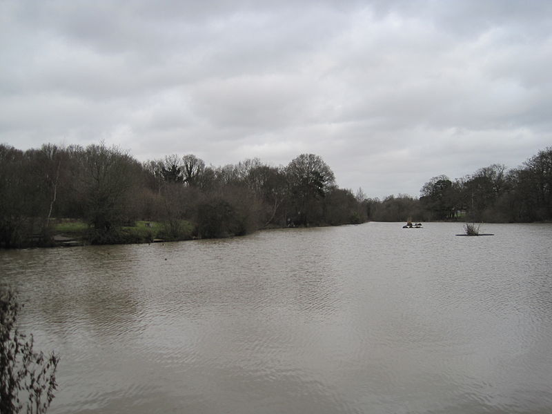
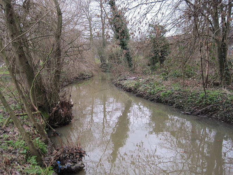
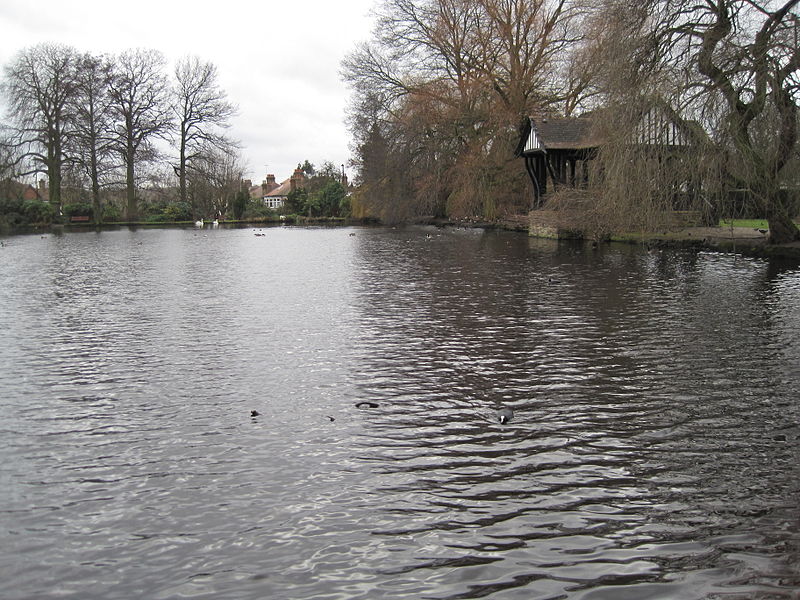
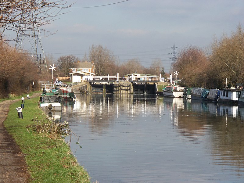
The Pymmes Brook Trail is located in the London Boroughs of Barnet, Enfield and Haringey and is just under 13 miles long. The brook is named after William Pymme, a local landowner. ()
Coordinates: 51°35'17"N, 0°3'29"W
Address
Haringey (Tottenham Hale)London
ContactAdd
Social media
Add
Day trips
Pymmes Brook Trail – popular in the area (distance from the attraction)
Nearby attractions include: Northumberland Development Project, Bruce Castle, Tottenham Hotspur Stadium, Tottenham Cemetery.
Frequently Asked Questions (FAQ)
Which popular attractions are close to Pymmes Brook Trail?
Nearby attractions include Walthamstow Wetlands, London (10 min walk), Markfield Beam Engine and Museum, London (12 min walk), Tottenham High Cross, London (14 min walk), Tottenham Town Hall, London (16 min walk).
How to get to Pymmes Brook Trail by public transport?
The nearest stations to Pymmes Brook Trail:
Bus
Metro
Train
Bus
- Mill Mead Road • Lines: 123, 230, N73, W4 (1 min walk)
- Ferry Lane • Lines: W4 (2 min walk)
Metro
- Tottenham Hale • Lines: Victoria (3 min walk)
- Blackhorse Road • Lines: Victoria (18 min walk)
Train
- Bruce Grove (17 min walk)
- South Tottenham (21 min walk)



 Tube
Tube


