Handle Hall, Rochdale
Map
Facts and practical information
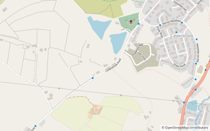
Handle Hall is a Grade II listed privately owned historic house in Littleborough, Greater Manchester. ()
Coordinates: 53°39'30"N, 2°5'33"W
Address
Rochdale
ContactAdd
Social media
Add
Getting there by public transportation
Public transportation stops near this location
- Train
 Train
Train
- Calculate routeLittleborough 28 min walk
Day trips


Frequently Asked Questions (FAQ)
How to get to Handle Hall by public transport?
The nearest stations to Handle Hall:
Train
Train
- Littleborough (28 min walk)