Winterscleugh
Map

Map

Facts and practical information
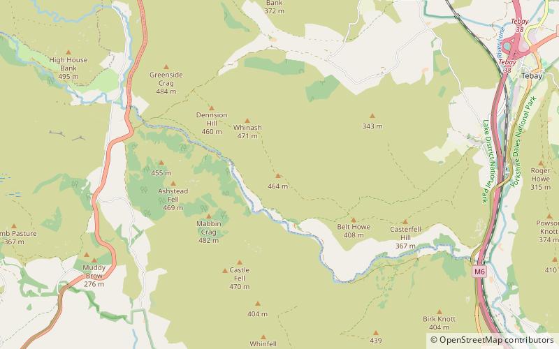
Winterscleugh is a hill of 464 metres in Cumbria, England, to the east of the Lake District. It is in the far east of the Lake District National Park since the national park's expansion in 2019. It is east of the A6 road and west of the M6 motorway, on the northern side of Borrowdale, Westmorland. ()
Coordinates: 54°25'10"N, 2°39'14"W
Location
England
ContactAdd
Social media
Add
Day trips
Winterscleugh – popular in the area (distance from the attraction)
Nearby attractions include: Longsleddale, All Saints Church, Wet Sleddale Reservoir, Great Asby Scar.


