Grayrigg Forest, Sedbergh
Map

Gallery

Facts and practical information
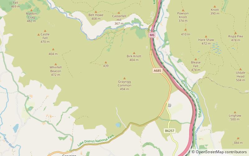
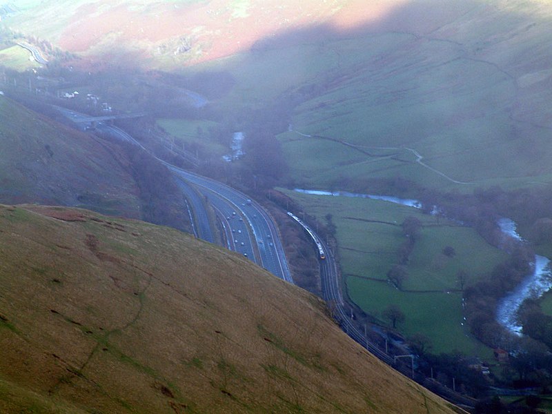
Grayrigg Forest is a hill in Cumbria, England, located on the eastern edge of what might be considered the Lake District, and in August 2016 becoming part of the national park. Reaching 494 metres above sea level, it is attainable from the less well-known Borrowdale valley. ()
Coordinates: 54°23'30"N, 2°37'12"W
Address
Sedbergh
ContactAdd
Social media
Add
Day trips
Grayrigg Forest – popular in the area (distance from the attraction)
Nearby attractions include: Abbot Hall Art Gallery, All Saints Church, Sedbergh People's Hall, St Andrew's Church.


