Selsdon, Warlingham
Map
Facts and practical information
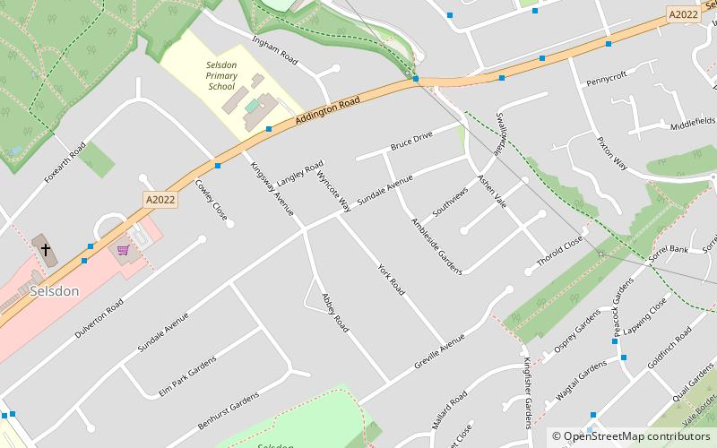
Selsdon is an area in South-East London, England, located in the London Borough of Croydon and the historic county of Surrey. It is located south of Coombe and Addiscombe, west of Forestdale, north of Hamsey Green and Farleigh, and east of Sanderstead. ()
Address
Croydon (Selsdon and Ballards)Warlingham
ContactAdd
Social media
Add
Getting there by public transportation
Public transportation stops near this location
- Bus
- Tram
 Bus
Bus
- Calculate routeSelsdon Primary School 4 min walk
- Calculate routeAshen Vale 5 min walk
- Calculate routePixton Way 6 min walk
- Calculate routeHeather Way 7 min walk
- Calculate routeGravel Hill 21 min walk
- Calculate routeCoombe Lane 27 min walk
- Calculate routeAddington Village 30 min walk
Day trips


Frequently Asked Questions (FAQ)
Which popular attractions are close to Selsdon?
Nearby attractions include Littleheath Woods, Warlingham (11 min walk), Selsdon Wood, Warlingham (16 min walk), Bramley Bank, Warlingham (17 min walk).
How to get to Selsdon by public transport?
The nearest stations to Selsdon:
Bus
Tram
Bus
- Selsdon Primary School • Lines: 359, 64 (4 min walk)
- Ashen Vale • Lines: 359, 64 (5 min walk)
Tram
- Gravel Hill • Lines: 3 (21 min walk)
- Coombe Lane • Lines: 3 (27 min walk)