Clun and Chapel Lawn, Clun

Map
Facts and practical information
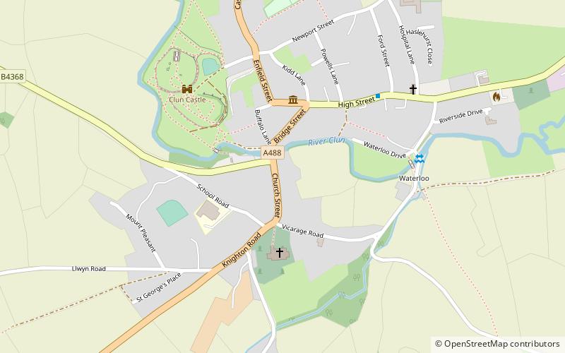
Clun or Clun and Chapel Lawn is a civil parish which covers a large rural area in the southwest of Shropshire, England. The parish has an area of 6,079 hectares. ()
Coordinates: 52°25'12"N, 3°1'48"W
Address
Clun
ContactAdd
Social media
Add
Day trips
Clun and Chapel Lawn – popular in the area (distance from the attraction)
Nearby attractions include: Offa's Dyke, Clun Castle, Clun Bridge, Hopton Castle.
Frequently Asked Questions (FAQ)
Which popular attractions are close to Clun and Chapel Lawn?
Nearby attractions include Clun Bridge, Clun (1 min walk), Clun Castle, Clun (6 min walk), Radnor Wood, Clun (22 min walk).


