St Martha's Hill and Colyer's Hanger, Guildford
Map

Map

Facts and practical information
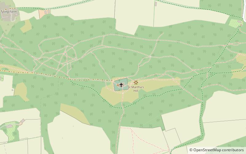
St Martha's Hill and Colyer's Hanger is a 38-hectare nature reserve north of Chilworth in Surrey. It is owned by the Albury Estate and managed by the Surrey Wildlife Trust on behalf of Surrey County Council. Colyers Hanger is a Site of Special Scientific Interest and a Nature Conservation Review site, Grade 2. Earth circles, which are probably associated with tree planting for Chilworth Manor, are a Scheduled Monument. ()
Elevation: 564 ft a.s.l.Coordinates: 51°13'30"N, 0°31'44"W
Address
Tillingbourne (St. Martha)Guildford
ContactAdd
Social media
Add
Day trips
St Martha's Hill and Colyer's Hanger – popular in the area (distance from the attraction)
Nearby attractions include: St Martha's Hill, Newlands Corner, Downs Link, St Augustine's Abbey.
Frequently Asked Questions (FAQ)
Which popular attractions are close to St Martha's Hill and Colyer's Hanger?
Nearby attractions include St Martha's Hill, Guildford (2 min walk), Chilworth Manor, Chilworth (8 min walk), Merrow Downs, Guildford (23 min walk).
How to get to St Martha's Hill and Colyer's Hanger by public transport?
The nearest stations to St Martha's Hill and Colyer's Hanger:
Bus
Train
Bus
- Chilworth Railway Station • Lines: 32, 525 (18 min walk)
- Blacksmith Lane • Lines: 32, 525 (18 min walk)
Train
- Chilworth (18 min walk)


