Merrow Downs, Guildford
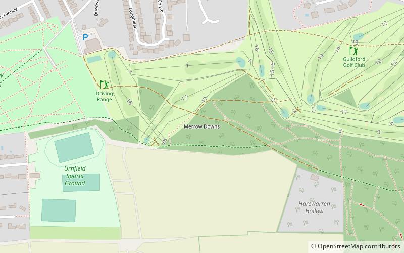
Map
Facts and practical information
Merrow Downs, in Surrey, England is an area of common land at the edge of the former village of Merrow, now a suburb of Guildford. It forms part of Surrey Hills AONB right on the edge of the ridge of hills that forms the North Downs. ()
Area: 0.6 mi²Coordinates: 51°14'17"N, 0°31'52"W
Address
MerrowGuildford
ContactAdd
Social media
Add
Getting there by public transportation
Public transportation stops near this location
- Bus
 Bus
Bus
- Calculate routeLevylsdene 13 min walk
- Calculate routeHigh Path Road 13 min walk
- Calculate routeWykeham Road 15 min walk
- Calculate routeChurch 15 min walk
Day trips


Frequently Asked Questions (FAQ)
Which popular attractions are close to Merrow Downs?
Nearby attractions include St Martha's Hill and Colyer's Hanger, Guildford (23 min walk), St Martha's Hill, Guildford (24 min walk).
How to get to Merrow Downs by public transport?
The nearest stations to Merrow Downs:
Bus
Bus
- Levylsdene • Lines: 1, 463, 479 (13 min walk)
- High Path Road • Lines: 1, 463, 479 (13 min walk)