Tiger Bay, Cardiff
Map
Facts and practical information
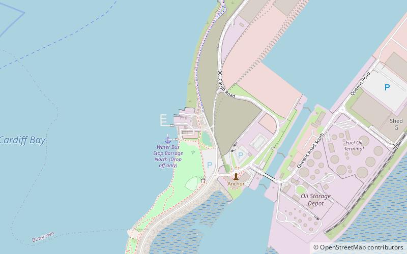
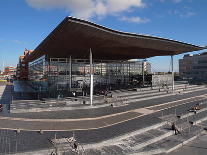
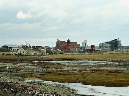
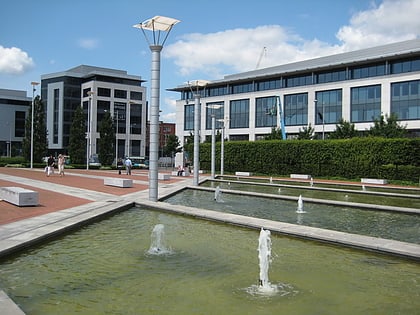
Tiger Bay was the local name for an area of Cardiff which covered Butetown and Cardiff Docks. Following the building of the Cardiff Barrage, which dams the tidal rivers, Ely and Taff, to create a body of water, it is referred to as Cardiff Bay. Tiger Bay is Wales’ oldest multi-ethnic community, with sailors and workers from over 50 countries settling there from the mid-19th century onwards. ()
Coordinates: 51°27'57"N, 3°10'1"W
Address
Caerdydd Wouth (Tre-biwt)Cardiff
ContactAdd
Social media
Add
Day trips
Tiger Bay – popular in the area (distance from the attraction)
Nearby attractions include: Wales Millennium Centre, Pierhead Building, Norwegian Church Arts Centre, Roald Dahl Plass.
Frequently Asked Questions (FAQ)
Which popular attractions are close to Tiger Bay?
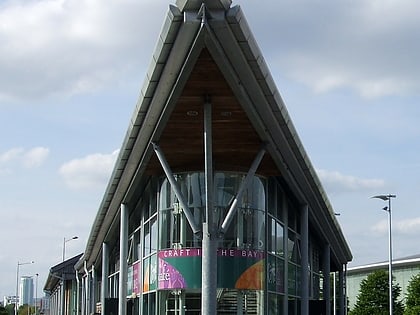
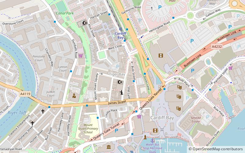
Nearby attractions include Mount Stuart Square, Cardiff (2 min walk), Third floor gallery, Cardiff (2 min walk), Craft in the Bay, Cardiff (3 min walk), Butetown, Cardiff (3 min walk).
How to get to Tiger Bay by public transport?
The nearest stations to Tiger Bay:
Bus
Train
Bus
- Millennium Centre • Lines: 304/303, 6, 8 (4 min walk)
- Mermaid Quay • Lines: 8, T1C (4 min walk)
Train
- Cardiff Bay (4 min walk)
- Cardiff Central (22 min walk)


