Nantwich Walled Garden, Nantwich
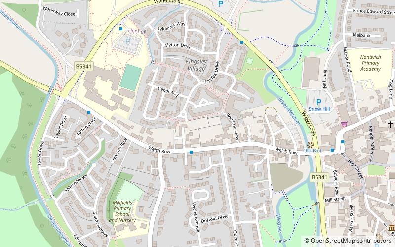
Map

Gallery

Facts and practical information
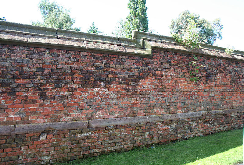
Nantwich Walled Garden is a disused walled garden in the town of Nantwich, Cheshire, UK. It occupies approximately half an acre north of 82 to 96 Welsh Row. ()
Coordinates: 53°4'6"N, 2°31'46"W
Address
Nantwich
ContactAdd
Social media
Add
Day trips
Nantwich Walled Garden – popular in the area (distance from the attraction)
Nearby attractions include: 46 High Street, Nantwich Museum, St Mary's Church, Dorfold Hall.
Frequently Asked Questions (FAQ)
Which popular attractions are close to Nantwich Walled Garden?
Nearby attractions include Primitive Methodist Chapel, Nantwich (2 min walk), Nantwich Bridge, Nantwich (6 min walk), Nantwich Castle, Nantwich (7 min walk), Nantwich Aqueduct, Nantwich (7 min walk).
How to get to Nantwich Walled Garden by public transport?
The nearest stations to Nantwich Walled Garden:
Train
Train
- Nantwich (15 min walk)


