Bristol Community Church, Bristol
Map
Facts and practical information
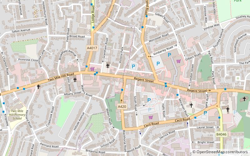
Bristol Community Church is a charismatic church located in Kingswood, Bristol, England. ()
Coordinates: 51°27'47"N, 2°30'43"W
Address
Bristol
ContactAdd
Social media
Add
Getting there by public transportation
Public transportation stops near this location
- Bus
 Bus
Bus
- Calculate routeGrantham Road 3 min walk
- Calculate routeKingswood Shopping Centre 4 min walk
- Calculate routeCecil Road 7 min walk
Day trips


Frequently Asked Questions (FAQ)
Which popular attractions are close to Bristol Community Church?
Nearby attractions include Whitefield's Tabernacle, Bristol (6 min walk), Kingswood, Bristol (7 min walk), Holy Trinity Church, Bristol (10 min walk).
How to get to Bristol Community Church by public transport?
The nearest stations to Bristol Community Church:
Bus
Bus
- Grantham Road • Lines: 43 (3 min walk)
- Kingswood Shopping Centre • Lines: 43, 635 (4 min walk)