Lodge Causeway, Bristol
Map

Map

Facts and practical information
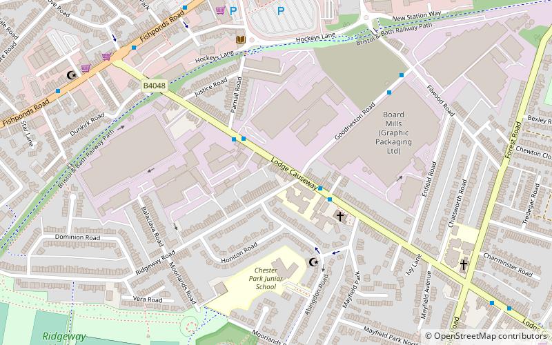
Lodge Causeway is an ancient passage through the former Royal Forest of Kingswood and now the main road between Fishponds and Kingswood in Bristol, England. The road is designated the B4048. ()
Coordinates: 51°28'30"N, 2°31'55"W
Address
HillfieldsBristol
ContactAdd
Social media
Add
Day trips
Lodge Causeway – popular in the area (distance from the attraction)
Nearby attractions include: Oldbury Court Estate, Stoke Park, Eastville Park, St George's Park.
Frequently Asked Questions (FAQ)
Which popular attractions are close to Lodge Causeway?
Nearby attractions include St Matthias, Bristol (17 min walk), Crofts End Church, Bristol (18 min walk), Glenside Museum, Bristol (22 min walk), Snuff Mills, Bristol (22 min walk).
How to get to Lodge Causeway by public transport?
The nearest stations to Lodge Causeway:
Bus
Bus
- Rodney Road • Lines: 43 (25 min walk)
- Whiteway Road • Lines: 43 (25 min walk)


