The Blue Bowl, Bristol

Gallery (1)
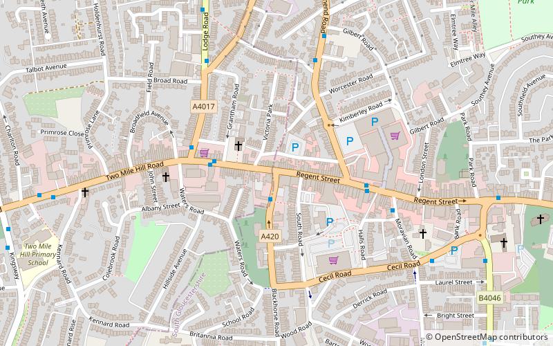
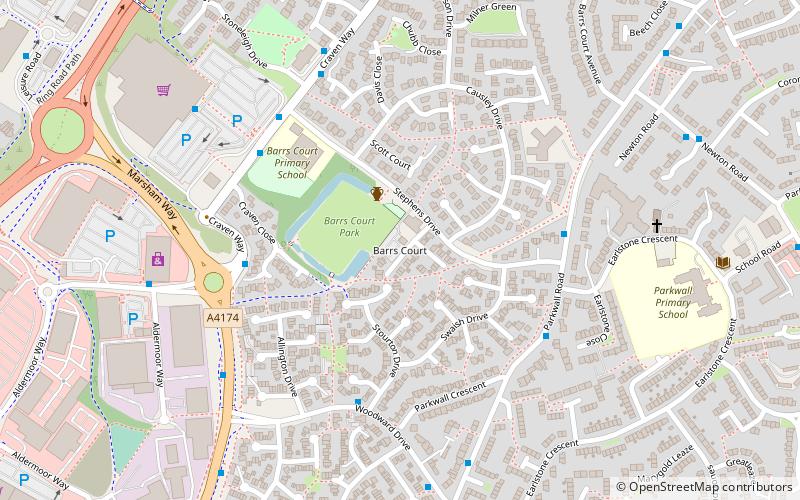
Map
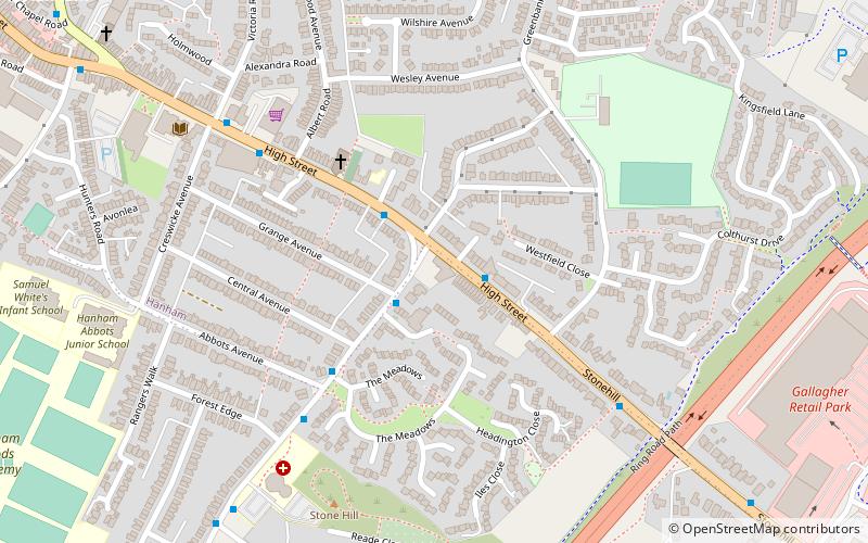
Map
Facts and practical information
The Blue Bowl is a public house in Hanham, South Gloucestershire, situated on Hanham High Street. It is thought to be one of the oldest pubs in the United Kingdom, being said to date back to the 14th century. There are no official records as to the age, but Saint Lyte wrote that it was an old established hostelry in 1480. The name of the pub was changed to 'The Millhouse’ in the late 20th century, but after objections from the public it was reverted to The Blue Bowl. ()
Coordinates: 51°26'46"N, 2°30'32"W
Address
178 High StreetBristol
ContactAdd
Social media
Add
Getting there by public transportation
Public transportation stops near this location
- Bus
 Bus
Bus
- Calculate routeCecil Road 27 min walk
- Calculate routeNewton Road Shops 29 min walk
- Calculate routeGages Close 29 min walk
- Calculate routeKingswood Shopping Centre 29 min walk
Day trips


Frequently Asked Questions (FAQ)
How to get to The Blue Bowl by public transport?
The nearest stations to The Blue Bowl:
Bus
Bus
- Cecil Road • Lines: 43 (27 min walk)
- Newton Road Shops • Lines: 43 (29 min walk)