Seething Wells, Kingston upon Thames
Map

Gallery
Facts and practical information
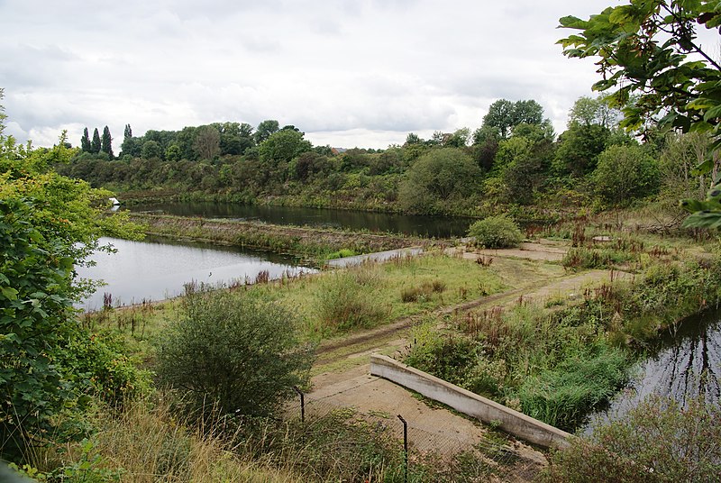
Seething Wells is a neighbourhood in southwest London on the border between Surbiton in the Royal Borough of Kingston upon Thames in Greater London, and Elmbridge in Surrey. The area was historically a waterworks that supplied London with water from the River Thames. Nowadays it is mainly a residential area, with the notable exception of decommissioned filter beds — the Seething Wells Filter Beds — in the northwest part of the area that borders the Thames. ()
Coordinates: 51°23'34"N, 0°18'52"W
Address
Kingston upon Thames (St. Mark's)Kingston upon Thames
ContactAdd
Social media
Add
Day trips
Seething Wells – popular in the area (distance from the attraction)
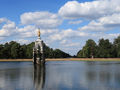
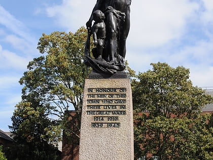
Nearby attractions include: Hampton Court Palace, Diana Fountain, Kingston upon Thames War Memorial, The Fighting Cocks.
Frequently Asked Questions (FAQ)
Which popular attractions are close to Seething Wells?
Nearby attractions include Raven's Ait, London (11 min walk), Surbiton, London (13 min walk), The Wood, London (14 min walk), Surbiton Park, Kingston upon Thames (16 min walk).
How to get to Seething Wells by public transport?
The nearest stations to Seething Wells:
Bus
Train
Bus
- Seething Wells / Kingston Uni Campus • Lines: 458, 513, 514, 515, 715 (2 min walk)
- Brighton Road • Lines: 514, 515 (3 min walk)
Train
- Surbiton (12 min walk)
- Thames Ditton (28 min walk)


