York Place, Edinburgh
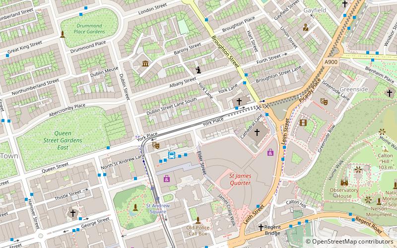
Map
Gallery
Facts and practical information
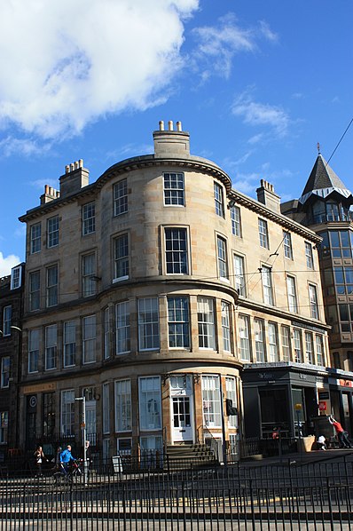
York Place is a street in central Edinburgh of almost exclusively 18th century buildings, linking Queen Street to Broughton Street and Leith Walk. ()
Coordinates: 55°57'22"N, 3°11'26"W
Address
New TownEdinburgh
ContactAdd
Social media
Add
Day trips
York Place – popular in the area (distance from the attraction)
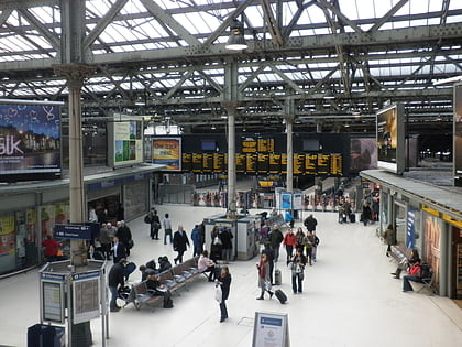
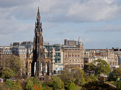
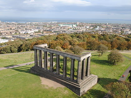
Nearby attractions include: Multrees Walk, Calton Hill, Waverley Mall, Scott Monument.
Frequently Asked Questions (FAQ)
Which popular attractions are close to York Place?
Nearby attractions include St Paul's and St George's Church, Edinburgh (3 min walk), St Mary's Cathedral, Edinburgh (3 min walk), Dundas House, Edinburgh (3 min walk), New Town, Edinburgh (4 min walk).
How to get to York Place by public transport?
The nearest stations to York Place:
Bus
Tram
Train
Bus
- Edinburgh Bus Station • Lines: 336 (2 min walk)
- York Place • Lines: 10, 11, 12, 16, 26, 44 (3 min walk)
Tram
- St Andrew Square • Lines: Edinburgh Trams Eastbound, Edinburgh Trams Westbound (4 min walk)
- Princes Street • Lines: Edinburgh Trams Eastbound, Edinburgh Trams Westbound (11 min walk)
Train
- Edinburgh Waverley (8 min walk)
- Haymarket (35 min walk)

