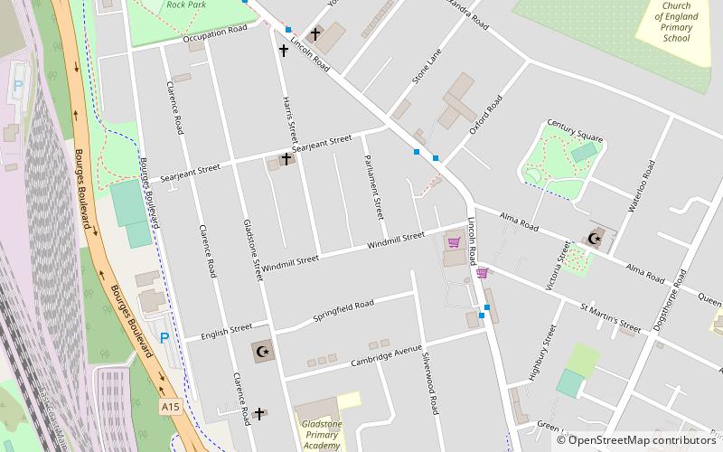
Millfield, Peterborough
Map
Facts and practical information
Millfield is a residential area of the city of Peterborough, Cambridgeshire in the United Kingdom. For electoral purposes it comprises the main part of Peterborough Central ward. A multicultural area, the Faidhan-e-Madina Mosque opened in nearby New England in 2003. The area has at times seen high racial tensions and disturbances, most notably in September 2001 when teenager Ross Parker was murdered by a gang of Muslims of Pakistani origin, in an unprovoked racially motivated attack. ()
Coordinates: 52°35'14"N, 0°14'57"W
Address
Peterborough
ContactAdd
Social media
Add
Getting there by public transportation
Public transportation stops near this location
- Bus
- Train
 Bus
Bus
- Calculate routeCambridge Avenue 4 min walk
- Calculate routeOccupation Road 7 min walk
- Calculate routeNorfolk Street 9 min walk
- Calculate routePeterborough 23 min walk
Day trips


Frequently Asked Questions (FAQ)
Which popular attractions are close to Millfield?
Nearby attractions include West Town, Peterborough (18 min walk), St Peter and All Souls, Peterborough (21 min walk), Boroughby, Peterborough (22 min walk).
How to get to Millfield by public transport?
The nearest stations to Millfield:
Bus
Train
Bus
- Cambridge Avenue • Lines: 1 (4 min walk)
- Occupation Road • Lines: 1 (7 min walk)
Train
- Peterborough (23 min walk)