Blochairn, Glasgow
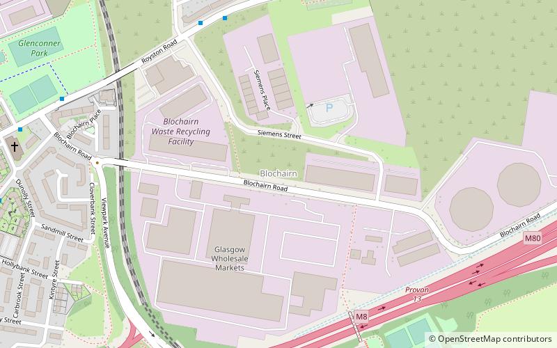
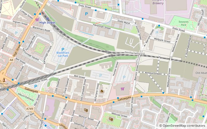
Map
Facts and practical information
Blochairn is a district in the Scottish city of Glasgow, situated north of the River Clyde. ()
Coordinates: 55°52'13"N, 4°12'45"W
Address
GermistonGlasgow
ContactAdd
Social media
Add
Getting there by public transportation
Public transportation stops near this location
- Bus
- Train
 Bus
Bus
- Calculate routeAlexandra Parade / Meadowpark Street 13 min walk
- Calculate routeAlexandra Parade / Craigielea Street 13 min walk
- Calculate routeAlexandra Parade 13 min walk
- Calculate routeBarnhill 17 min walk
- Calculate routeDuke Street 21 min walk
- Calculate routeBellgrove 27 min walk
Day trips


Frequently Asked Questions (FAQ)
Which popular attractions are close to Blochairn?
Nearby attractions include Alexandra Park, Glasgow (12 min walk), Dennistoun, Glasgow (17 min walk), Our Lady of Good Counsel, Glasgow (17 min walk), Provanmill, Glasgow (18 min walk).
How to get to Blochairn by public transport?
The nearest stations to Blochairn:
Bus
Train
Bus
- Alexandra Parade / Meadowpark Street • Lines: 38 (13 min walk)
- Alexandra Parade / Craigielea Street • Lines: 38, 38A (13 min walk)
Train
- Alexandra Parade (13 min walk)
- Barnhill (17 min walk)