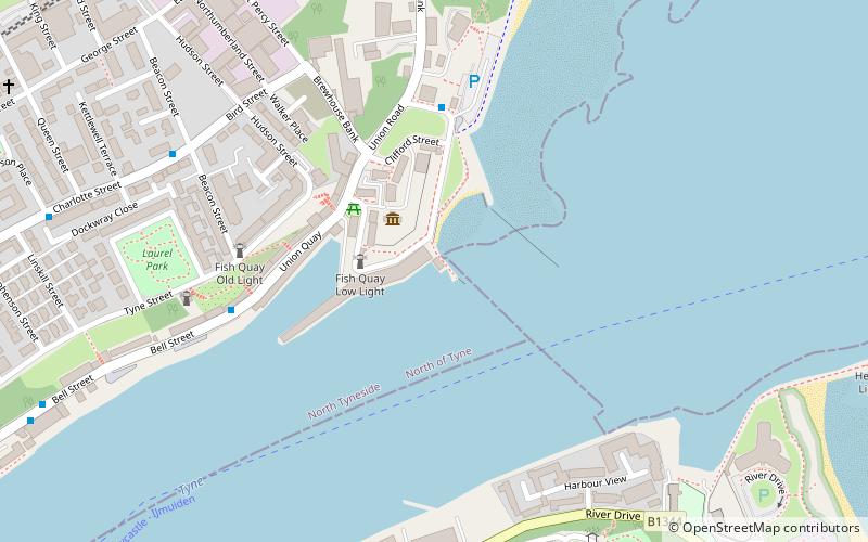
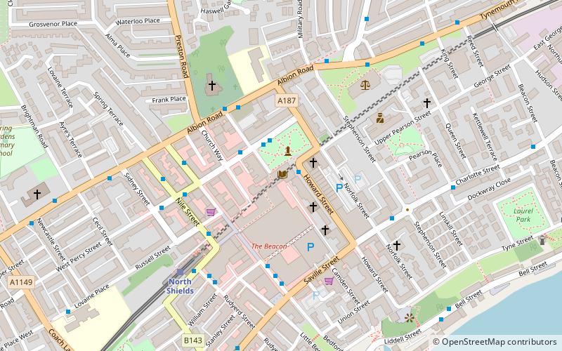
North Shields Fish Quay, South Tyneside
Map

Map

Facts and practical information
North Shields Fish Quay is a fishing port located close to the mouth of the River Tyne, in North Shields, Tyne and Wear, North East England, 8 miles east of the city of Newcastle upon Tyne. ()
Coordinates: 55°0'32"N, 1°25'59"W
Address
Fish QuaySouth Tyneside
Contact
+44 191 257 5422
Social media
Add
Day trips
North Shields Fish Quay – popular in the area (distance from the attraction)
Nearby attractions include: Tynemouth Priory and Castle, Lord Collingwood Monument, Wet N Wild, Royal Quays.
Frequently Asked Questions (FAQ)
Which popular attractions are close to North Shields Fish Quay?
Nearby attractions include High and Low Lights of North Shields, South Tyneside (2 min walk), Arbeia, South Tyneside (9 min walk), North East Maritime Trust, South Tyneside (11 min walk), Tyne Turrets, Tynemouth (12 min walk).
How to get to North Shields Fish Quay by public transport?
The nearest stations to North Shields Fish Quay:
Bus
Light rail
Bus
- North Shields Fish Quay • Lines: 333 (5 min walk)
- Bird Street-W/B • Lines: 333 (6 min walk)
Light rail
- Tynemouth • Lines: Yellow (16 min walk)
- North Shields • Lines: Yellow (17 min walk)


