Brookhill Tavern, Birmingham
Map
Facts and practical information
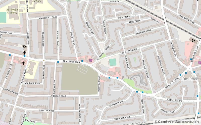
The Brookhill Tavern is a Grade II listed public house at 484 Alum Rock Road, Alum Rock, Birmingham, England B8 3HX. ()
Coordinates: 52°29'17"N, 1°50'21"W
Address
Washwood HeathBirmingham
ContactAdd
Social media
Add
Getting there by public transportation
Public transportation stops near this location
- Bus
- Train
 Bus
Bus
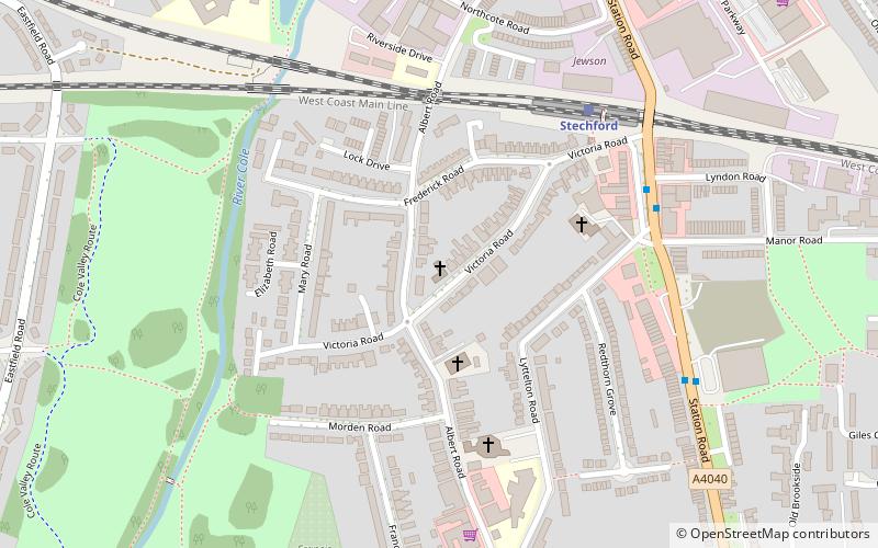
- Calculate routeAdderley Park 20 min walk
- Calculate routeStechford 31 min walk
- Calculate routeBordesley Green / Charles Rd 25 min walk
Day trips


Frequently Asked Questions (FAQ)
Which popular attractions are close to Brookhill Tavern?
Nearby attractions include Alum Rock, Birmingham (8 min walk), Ward End Park, Birmingham (10 min walk), St Paul's Church, Birmingham (16 min walk), St Mark's Church, Birmingham (19 min walk).
How to get to Brookhill Tavern by public transport?
The nearest stations to Brookhill Tavern:
Train
Bus
Train
- Adderley Park (20 min walk)
- Stechford (31 min walk)
Bus
- Bordesley Green / Charles Rd • Lines: 97 (25 min walk)