Gardiner's, London
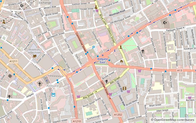
Map
Facts and practical information
Gardiner's was a department store at the junction of Whitechapel High Street and Commercial Road, London. Opened in the 1870s, it specialised in Scottish clothing and military uniforms. It was destroyed by fire in May 1972. Its site, where the main confrontation of the Battle of Cable Street took place in 1936, is sometimes still referred to as Gardiner's Corner. ()
Coordinates: 51°30'55"N, 0°4'16"W
Address
Tower Hamlets (Whitechapel)London
ContactAdd
Social media
Add
Day trips
Gardiner's – popular in the area (distance from the attraction)
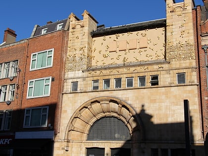
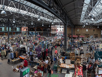
Nearby attractions include: Whitechapel Gallery, 30 St Mary Axe, Old Spitalfields Market, Baltic Exchange.
Frequently Asked Questions (FAQ)
Which popular attractions are close to Gardiner's?
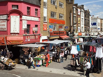
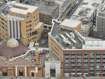
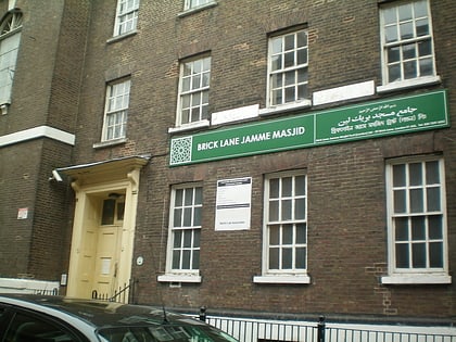
Nearby attractions include Altab Ali Park, London (4 min walk), Brick Lane Mosque, London (4 min walk), Machzike Hadath, London (5 min walk), Petticoat Lane Market, London (5 min walk).
How to get to Gardiner's by public transport?
The nearest stations to Gardiner's:
Bus
Metro
Light rail
Train
Ferry
Bus
- Aldgate East Station • Lines: 242, 254, N253 (1 min walk)
- Altab Ali Park • Lines: 254, N253 (5 min walk)
Metro
- Aldgate East • Lines: District, Hammersmith & City (1 min walk)
- Aldgate • Lines: Circle, Metropolitan (6 min walk)
Light rail
- Tower Gateway Platform 2 • Lines: Tg-B (9 min walk)
- Shadwell Platform 2 • Lines: B-L, B-Wa, Tg-B (18 min walk)
Train
- London Fenchurch Street (10 min walk)
- Shoreditch High Street (15 min walk)
Ferry
- Tower Millennium Pier • Lines: Rb1, Rb1X, Rb2, Red Tour (17 min walk)
- Saint Katharine's Pier • Lines: Blue Tour, Green Tour (17 min walk)
 Tube
Tube