Wallington Town Hall, Banstead
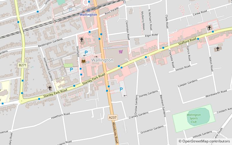
Map

Map

Facts and practical information
Wallington Town Hall is a municipal building in Woodcote Road, Wallington, London. It is a Grade II listed building. ()
Coordinates: 51°21'27"N, 0°8'55"W
Address
3 Stafford RoadSutton (Wallington South)Banstead
Contact
+44 20 8770 4900
Social media
Add
Day trips
Wallington Town Hall – popular in the area (distance from the attraction)
Nearby attractions include: Waddon Ponds, Sutton Ecology Centre Grounds, Charles Cryer Theatre, Wallington.
Frequently Asked Questions (FAQ)
Which popular attractions are close to Wallington Town Hall?
Nearby attractions include Wallington, London (14 min walk), Carshalton Park, London (16 min walk), Charles Cryer Theatre, Banstead (20 min walk), Bandonhill, Banstead (20 min walk).
How to get to Wallington Town Hall by public transport?
The nearest stations to Wallington Town Hall:
Bus
Train
Bus
- Stafford Road / Woodcote Road • Lines: 154, 157, 455 (1 min walk)
- Woodcote Road / Stafford Road • Lines: 127, 463, 612, 627, 633, S4 (2 min walk)
Train
- Wallington (6 min walk)
- Carshalton Beeches (23 min walk)


