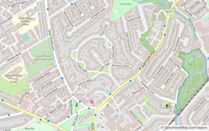
The Wrythe, Banstead


Facts and practical information
The Wrythe is a district of Carshalton, South London, located in the London Borough of Sutton. The area is located 9.3 miles South of Charing Cross and is surrounded by the adjacent areas of Hackbridge and Croydon to the east, Morden and Mitcham to the north, Sutton to the west. The area is commonly referred to as Wrythe Green which is located at the centre of the neighbourhood. It is thought that the name derives from a spring which is related to the River Wandle which runs through the east of the area from the Carshalton ponds. The Wrythe had a population of 10,163 in the 2011 Census. ()
Sutton (The Wrythe)Banstead
The Wrythe – popular in the area (distance from the attraction)
Nearby attractions include: Sutton armillary, Wallington Town Hall, Sutton Ecology Centre Grounds, BedZED.
Frequently Asked Questions (FAQ)
Which popular attractions are close to The Wrythe?
How to get to The Wrythe by public transport?
Bus
- Bucklers Way • Lines: 127, 151 (3 min walk)
- Strawberry Lane • Lines: 127, 151 (3 min walk)
Train
- Carshalton (10 min walk)
- Hackbridge (15 min walk)
Tram
- Beddington Lane • Lines: 2, 4 (37 min walk)


