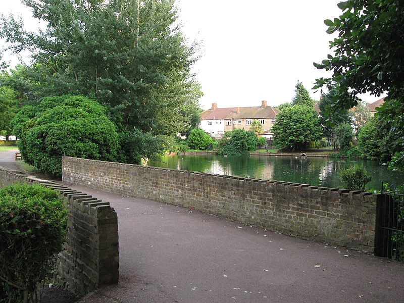
Waddon Ponds, Banstead
Map

Gallery

Facts and practical information
Waddon Ponds is an ornamental 8.5 acres urban park / inland water in the western part of the London Borough of Croydon, by whom it is managed. It is bordered to the north by Mill Lane, and on the other three sides by Waddon Court Road, Court Drive and The Ridgeway. ()
Elevation: 135 ft a.s.l.Coordinates: 51°22'12"N, 0°7'13"W
Address
Croydon (Waddon)Banstead
ContactAdd
Social media
Add
Day trips
Waddon Ponds – popular in the area (distance from the attraction)
Nearby attractions include: St George's Walk, Whitgift Centre, Centrale, Queen's Gardens.
Frequently Asked Questions (FAQ)
Which popular attractions are close to Waddon Ponds?
Nearby attractions include Wandle Park, London (13 min walk), Waddon, Warlingham (14 min walk), Croydon Minster, London (17 min walk), Purley Way, Banstead (17 min walk).
How to get to Waddon Ponds by public transport?
The nearest stations to Waddon Ponds:
Bus
Train
Tram
Bus
- Alton Road • Lines: 289, 407, 410, 663 (4 min walk)
- Purley Way / Waddon Road • Lines: 289, 407, 410, 455, 645, 663 (5 min walk)
Train
- Waddon (6 min walk)
- West Croydon (26 min walk)
Tram
- Wandle Park • Lines: 2, 4 (10 min walk)
- Waddon Marsh • Lines: 2, 4 (13 min walk)


