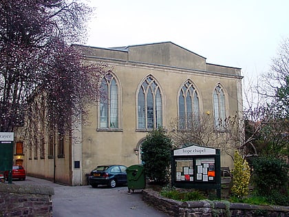
Bower Ashton, Bristol
Map
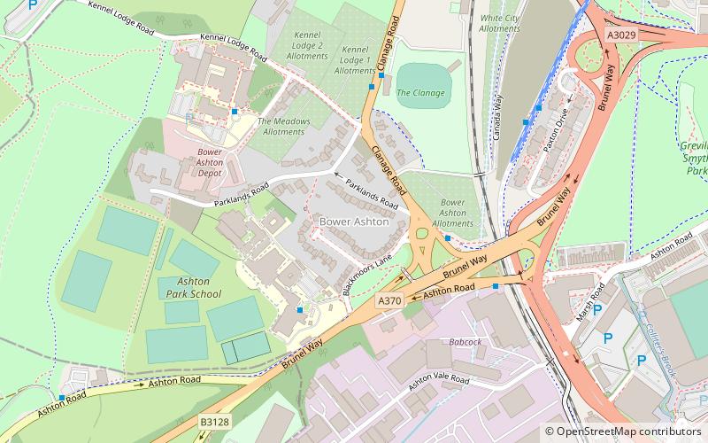
Map

Facts and practical information
Bower Ashton is a small district in south west Bristol on the western boundary with North Somerset, lying within the Southville ward, approximately two miles from the city centre. Ashton Court estate, a 850-acre recreational area owned by Bristol City Council lies just to the north, the Long Ashton by-pass to the south and the River Avon to the east. ()
Coordinates: 51°26'30"N, 2°37'44"W
Address
SouthvilleBristol
ContactAdd
Social media
Add
Day trips
Bower Ashton – popular in the area (distance from the attraction)
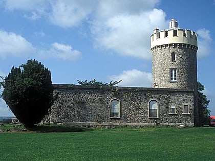
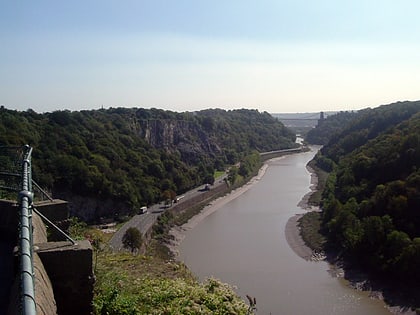
Nearby attractions include: Clifton Suspension Bridge, SS Great Britain, Ashton Gate Stadium, Clifton Observatory.
Frequently Asked Questions (FAQ)
Which popular attractions are close to Bower Ashton?
Nearby attractions include Ashton Gate Stadium, Bristol (10 min walk), Ashton Avenue Bridge, Bristol (12 min walk), Ashton Court Estate, Bristol (12 min walk), B Bond Warehouse, Bristol (14 min walk).
How to get to Bower Ashton by public transport?
The nearest stations to Bower Ashton:
Bus
Train
Ferry
Bus
- Ashton Gate • Lines: m2 (6 min walk)
- Ashton Vale • Lines: m2 (11 min walk)
Train
- Butterfly Junction (14 min walk)
- Parson Street (27 min walk)
Ferry
- Nova Scotia Place • Lines: Hotwells-Centre (16 min walk)
- Pumphouse • Lines: Hotwells-Centre (18 min walk)


