Lockinge Estate, Wantage
Map
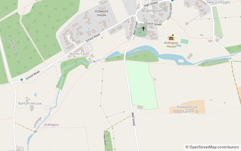
Map

Facts and practical information
The Lockinge Estate is a 3,035-hectare agricultural and housing estate near Wantage that today includes most of the land and property encompassing the villages of West Lockinge, East Lockinge and Ardington. The current manager of the Lockinge Estate is Thomas Loyd. Almost the entire estate is included within the North Wessex Downs Area of Outstanding Natural Beauty. ()
Coordinates: 51°35'24"N, 1°22'48"W
Address
Wantage
ContactAdd
Social media
Add
Day trips
Lockinge Estate – popular in the area (distance from the attraction)
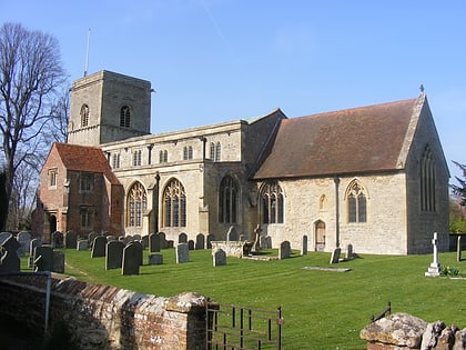
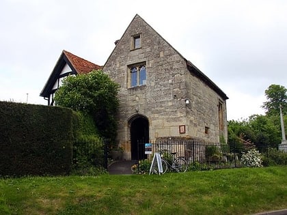
Nearby attractions include: Vale and Downland Museum, Church of St Peter and St Paul, All Saints' Church, Champs Chapel Museum of East Hendred.


