Pear Tree, Derby

Gallery (1)
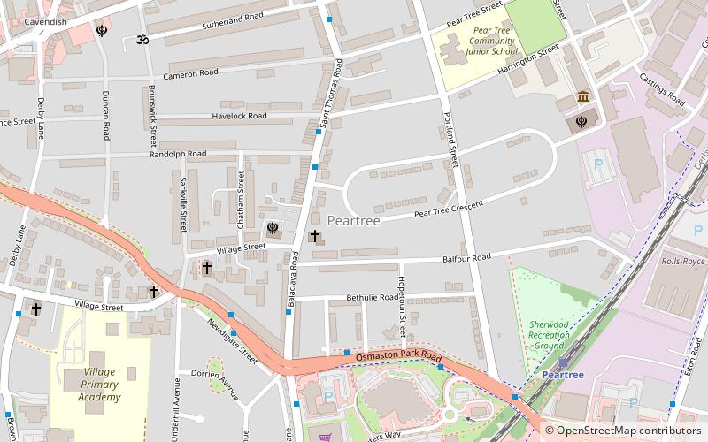
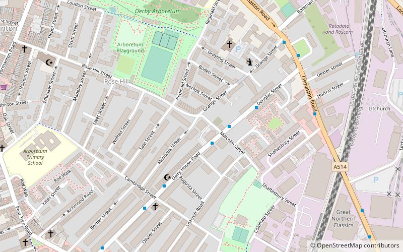
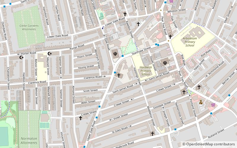
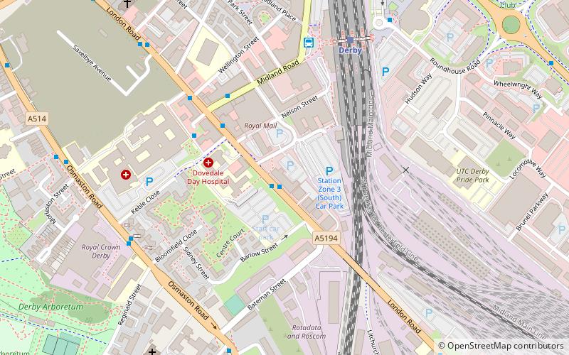
Map
Map
Facts and practical information
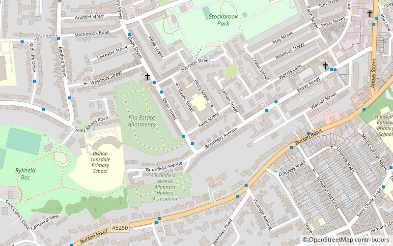
Pear Tree is an inner city suburb of the city of Derby, in Derbyshire, England, located about 1.2 miles south of the city centre. It is split between the Arboretum and Normanton electoral wards. Neighbouring areas include Litchurch, Normanton and Osmaston. The area became urbanised in the late 19th century and is characterised by terraced housing originally built for industrial workers. ()
Coordinates: 52°53'59"N, 1°28'39"W
Address
NormantonDerby
ContactAdd
Social media
Add
Getting there by public transportation
Public transportation stops near this location
- Bus
- Train
 Bus
Bus
- Calculate routeRandolph Road 3 min walk
- Calculate routeBalaclava Road 3 min walk
- Calculate routeShowcase Cinemas 4 min walk
- Calculate routeRawlinson Avenue 5 min walk
- Calculate routePeartree 7 min walk
- Calculate routeDerby 34 min walk
Day trips


Frequently Asked Questions (FAQ)
Which popular attractions are close to Pear Tree?
Nearby attractions include St Giles' Church, Derby (11 min walk), St Thomas' Church, Derby (11 min walk), St Augustine's Church, Derby (13 min walk), St James Centre, Derby (18 min walk).
How to get to Pear Tree by public transport?
The nearest stations to Pear Tree:
Bus
Train
Bus
- Randolph Road • Lines: 38 (3 min walk)
- Balaclava Road • Lines: 38 (3 min walk)
Train
- Peartree (7 min walk)
- Derby (34 min walk)