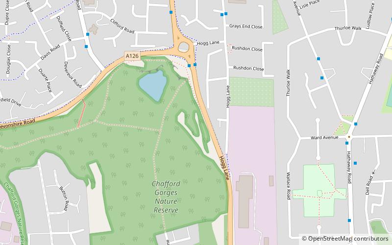
Thames Gateway, Grays

Map
Facts and practical information
Thames Gateway is a term applied to an area around the Thames Estuary in the context of discourse around regeneration and further urbanisation. The term was first coined by the UK government and applies to an area of land stretching 70 kilometres east from inner east and south-east London on both sides of the River Thames and the Thames Estuary. It stretches from Westferry in Tower Hamlets to the Isle of Sheppey/Southend-on-Sea and extends across three ceremonial counties. ()
Address
Grays
ContactAdd
Social media
Add
Day trips
Thames Gateway – popular in the area (distance from the attraction)
Nearby attractions include: State Cinema, St Clement's Church, White Hart, Chafford Gorges Nature Park.
Frequently Asked Questions (FAQ)
How to get to Thames Gateway by public transport?
The nearest stations to Thames Gateway:
Bus
Train
Bus
- Grays End Close • Lines: 33 (6 min walk)
- Davis Road • Lines: 33 (7 min walk)
Train
- Grays (20 min walk)


