Link Top, Malvern
Map

Gallery

Facts and practical information
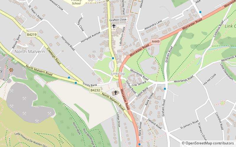
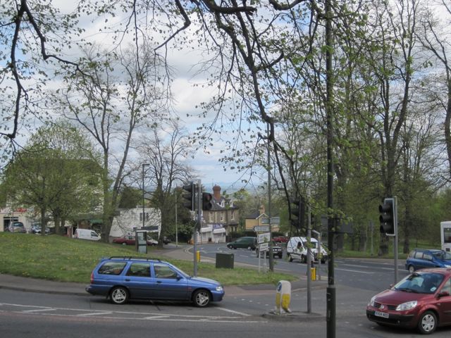
Link Top is a locality of Malvern Link, a major population area of the town of Malvern, Worcestershire, England. It is situated at the western extremity of Malvern Link at its boundary with Great Malvern and North Malvern. It is centred on a sharp left hand bend in the Worcester Road that forms a complex junction with the North Malvern Road, Hornyold Road, Newtown Road, and Lygon Bank, ()
Coordinates: 52°7'14"N, 2°19'48"W
Address
Malvern
ContactAdd
Social media
Add
Day trips
Link Top – popular in the area (distance from the attraction)
Nearby attractions include: Worcestershire Beacon, Great Malvern Priory, Malvern Museum, Sugarloaf Hill.
Frequently Asked Questions (FAQ)
Which popular attractions are close to Link Top?
Nearby attractions include North Malvern, Malvern (8 min walk), Amida Mandala Buddhist Group, Malvern (12 min walk), Church of the Ascension, Malvern (13 min walk), Church of St Peter, Malvern (13 min walk).
How to get to Link Top by public transport?
The nearest stations to Link Top:
Bus
Train
Bus
- Link Top • Lines: 43, 44, S43, X43, X44 (1 min walk)
- Newtown Road • Lines: 43, X43 (2 min walk)
Train
- Malvern Link (15 min walk)
- Great Malvern (24 min walk)


