Welsh Industrial and Maritime Museum, Cardiff
Map
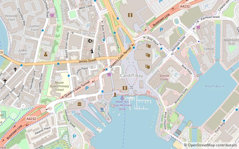
Map

Facts and practical information
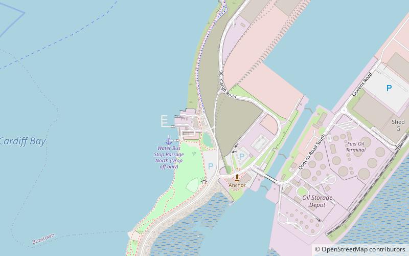
The Welsh Industrial and Maritime Museum was located in Butetown, Cardiff, Wales, prior to the Cardiff Bay regeneration in the late 1990s. The museum formed part of the National Museums and Galleries of Wales, now known as Amgueddfa Cymru – National Museum Wales and the first stage opened in 1977, and it closed just 22 years later in 1998. ()
Coordinates: 51°27'50"N, 3°9'54"W
Address
Caerdydd Wouth (Tre-biwt)Cardiff
ContactAdd
Social media
Add
Day trips
Welsh Industrial and Maritime Museum – popular in the area (distance from the attraction)
Nearby attractions include: Wales Millennium Centre, Pierhead Building, Norwegian Church Arts Centre, Roald Dahl Plass.
Frequently Asked Questions (FAQ)
Which popular attractions are close to Welsh Industrial and Maritime Museum?
Nearby attractions include Mermaid Quay, Cardiff (1 min walk), Roald Dahl Plass, Cardiff (1 min walk), Cardiff Bay, Cardiff (2 min walk), Third floor gallery, Cardiff (2 min walk).
How to get to Welsh Industrial and Maritime Museum by public transport?
The nearest stations to Welsh Industrial and Maritime Museum:
Bus
Train
Bus
- Mermaid Quay • Lines: 8, T1C (2 min walk)
- Millennium Centre • Lines: 304/303, 6, 8 (3 min walk)
Train
- Cardiff Bay (8 min walk)
- Cardiff Central (26 min walk)


