Gogarloch, Edinburgh
Map
Facts and practical information
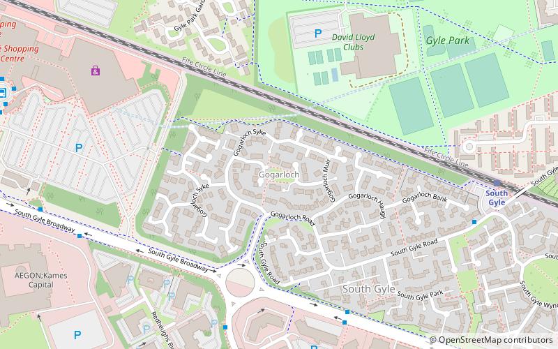
Gogarloch is a residential area within South Gyle, Edinburgh, Scotland. It lies near South Gyle railway station and South Gyle Broadway, 4+1⁄2 miles west of the city centre. Corstorphine and Wester Broom are nearby. ()
Coordinates: 55°56'12"N, 3°18'22"W
Address
South GyleEdinburgh
ContactAdd
Social media
Add
Getting there by public transportation
Public transportation stops near this location
- Bus
- Tram
- Train
 Bus
Bus
- Calculate routeSouth Gyle Park 5 min walk
- Calculate routeRedheughs Avenue 6 min walk
- Calculate routeDrummond House 8 min walk
- Calculate routeSouth Gyle 7 min walk
- Calculate routeEdinburgh Gateway 16 min walk
- Calculate routeEdinburgh Park 17 min walk
- Calculate routeGyle Centre 13 min walk
- Calculate routeEdinburgh Gateway 17 min walk
Day trips


Frequently Asked Questions (FAQ)
Which popular attractions are close to Gogarloch?
Nearby attractions include South Gyle, Edinburgh (5 min walk), Maybury, Edinburgh (11 min walk), West Craigs, Edinburgh (15 min walk), Wester Broom, Edinburgh (15 min walk).
How to get to Gogarloch by public transport?
The nearest stations to Gogarloch:
Bus
Train
Tram
Bus
- South Gyle Park • Lines: 21 (5 min walk)
- Redheughs Avenue • Lines: 21, 400 (6 min walk)
Train
- South Gyle (7 min walk)
- Edinburgh Gateway (16 min walk)
Tram
- Gyle Centre • Lines: Edinburgh Trams Eastbound, Edinburgh Trams Westbound (13 min walk)
- Edinburgh Gateway • Lines: Edinburgh Trams Eastbound, Edinburgh Trams Westbound (17 min walk)