St. Mary of the Isle Church, Douglas
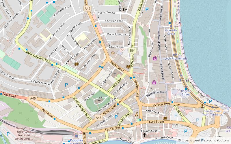
Map
Facts and practical information
The St Mary of the Isle Church is a parish of the Roman Catholic Church located in the city of Douglas, Isle of Man. It is part of the Roman Catholic Pastoral Area of St Maughold, in the Archdiocese of Liverpool, and the largest parish on the Isle of Man, a dependency of the British Crown. ()
Coordinates: 54°9'2"N, 4°28'57"W
Address
Douglas
ContactAdd
Social media
Add
Getting there by public transportation
Public transportation stops near this location
- Bus
- Tram
- Light rail
- Train
 Bus
Bus
- Calculate routeLoch Promenade 5 min walk
- Calculate routeGranville Street 6 min walk
- Calculate routeLoch Promenade 5 min walk
- Calculate routeVictoria Street 5 min walk
- Calculate routeNational Sports Centre Layby 24 min walk
- Calculate routeGroves Road / National Sports Centre 24 min walk
- Calculate routeDouglas Railway Station 6 min walk
- Calculate routeDerby Castle Terminus 37 min walk
- Calculate routeDerby Castle Depôt 39 min walk
- Calculate routeDerby Castle M.E.R. Station 37 min walk
Day trips


Frequently Asked Questions (FAQ)
Which popular attractions are close to St. Mary of the Isle Church?
Nearby attractions include Mobile Family Library, Douglas (4 min walk), Manx Museum, Douglas (7 min walk), Gaiety Theatre, Douglas (9 min walk), Douglas War Memorial, Douglas (11 min walk).
How to get to St. Mary of the Isle Church by public transport?
The nearest stations to St. Mary of the Isle Church:
Tram
Bus
Train
Light rail
Tram
- Loch Promenade • Lines: Douglas Horse Tramway (5 min walk)
- Granville Street • Lines: Douglas Horse Tramway (6 min walk)
Bus
- Loch Promenade • Lines: 1 (5 min walk)
- Victoria Street • Lines: 1 (5 min walk)
Train
- Douglas Railway Station (6 min walk)
- Derby Castle Terminus (37 min walk)
Light rail
- Derby Castle M.E.R. Station • Lines: Manx Electric Railway (37 min walk)