Rhydlafar, Cardiff
Map

Map

Facts and practical information
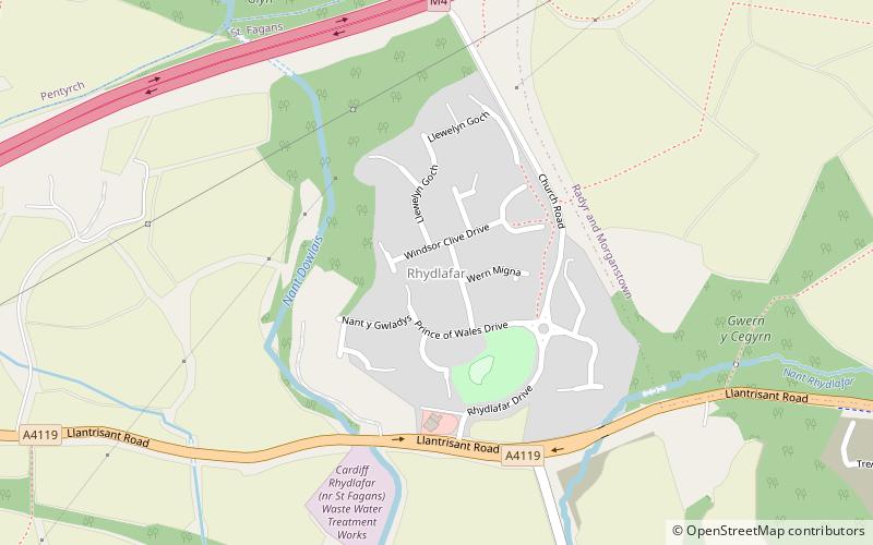
Rhydlafar is a small settlement in Wales located on the outskirts of Cardiff being around 5 miles west of the city centre and 5 miles south-east of Llantrisant. The village falls within the community and ward of Creigiau & St Fagans. It was formerly the site of the specialist Prince of Wales Orthopaedic Hospital, and the settlement essentially comprises a recent housing estate development built over the former hospital. ()
Coordinates: 51°30'46"N, 3°16'54"W
Address
Gorllewin Caerdydd (Creigiau and St. Fagans)Cardiff
ContactAdd
Social media
Add
Day trips
Rhydlafar – popular in the area (distance from the attraction)
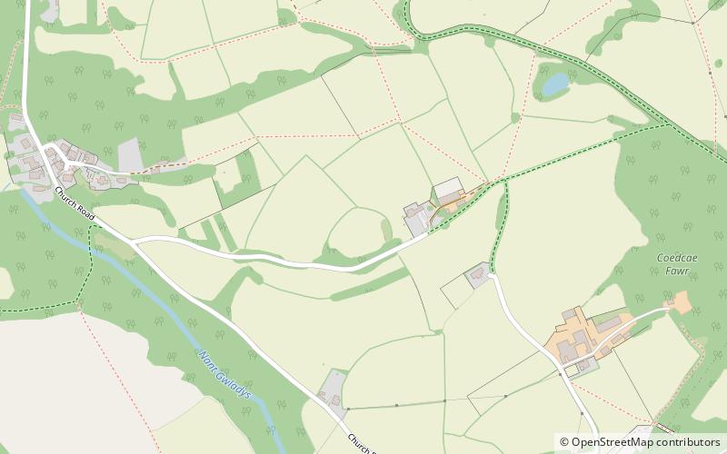
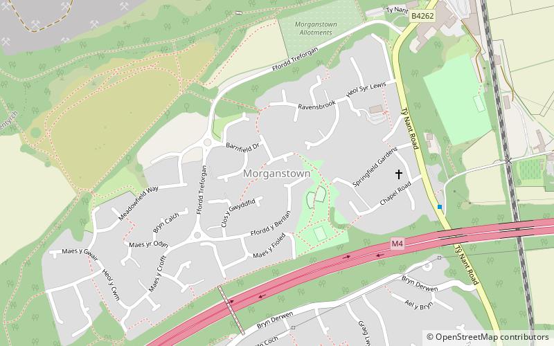
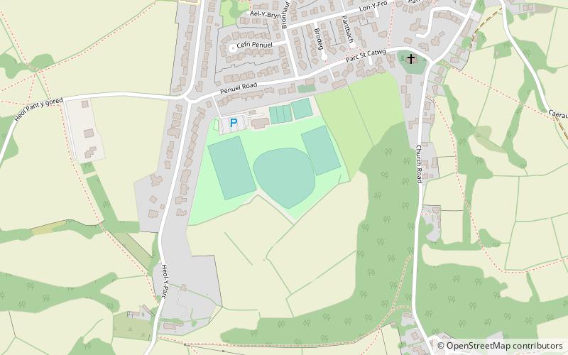
Nearby attractions include: Radyr Golf Club, Radyr, Llwynda-Ddu Camp, Morganstown.


