Whalley Range, Manchester
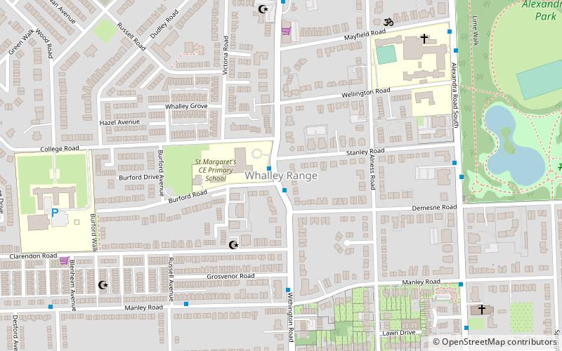
Map
Facts and practical information
Whalley Range is an area of Manchester, England, about 2 miles southwest of the city centre. The population at the 2011 census was 15,430. Historically in Lancashire, it was one of the earliest of the city's suburbs, built by local businessman Samuel Brooks. ()
Coordinates: 53°26'58"N, 2°15'27"W
Address
Whalley RangeManchester
ContactAdd
Social media
Add
Getting there by public transportation
Public transportation stops near this location
- Bus
- Tram
 Bus
Bus
- Calculate routeKings Road/Upper Chorlton Road 15 min walk
- Calculate routeUpper Chorlton Road/Brooks's Bar 17 min walk
- Calculate routeChorlton 21 min walk
- Calculate routeSt Werburgh's Road 21 min walk
- Calculate routeFirswood 22 min walk
- Calculate routeTrafford Bar 31 min walk
Maps MetrolinkMaps
 Metrolink / Rail
MetrolinkMapsMetrolink / RailDay trips


Frequently Asked Questions (FAQ)
Which popular attractions are close to Whalley Range?
Nearby attractions include British Muslim Heritage Centre, Manchester (8 min walk), Alexandra Park, Manchester (10 min walk), Moss Side, Manchester (14 min walk), Church of St Mary, Manchester (22 min walk).
How to get to Whalley Range by public transport?
The nearest stations to Whalley Range:
Bus
Tram
Bus
- Kings Road/Upper Chorlton Road • Lines: 15 (15 min walk)
- Upper Chorlton Road/Brooks's Bar • Lines: 15 (17 min walk)
Tram
- Chorlton • Lines: Airp, Dean, EDid, Roch, Shaw, Vict (21 min walk)
- St Werburgh's Road • Lines: Airp, Dean, EDid, Roch, Shaw, Vict (21 min walk)