Muntz Street, Birmingham
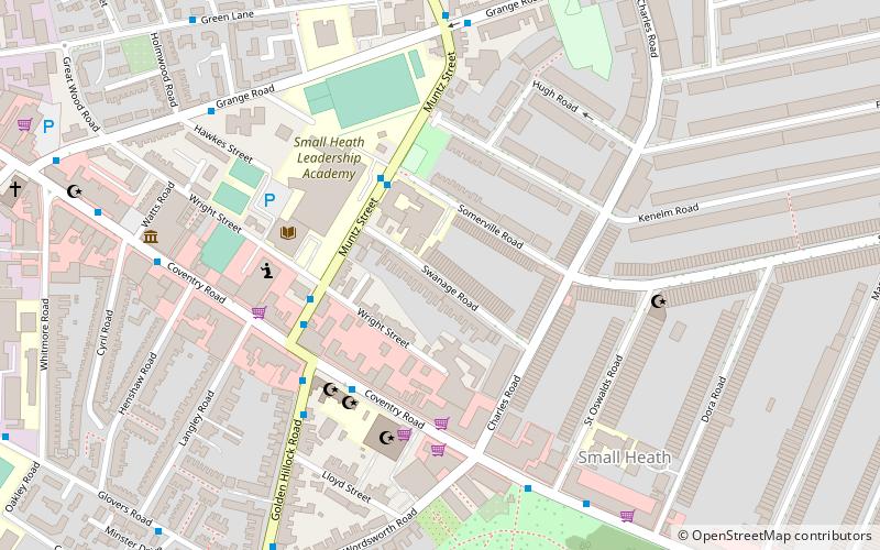
Map
Facts and practical information
Muntz Street is the popular name of a former association football stadium situated in the Small Heath district of Birmingham, England, taken from the street on which it stood. During its lifetime the ground was known as Coventry Road; the name "Muntz Street" is a more recent adoption. It was the ground at which the teams of Birmingham City F.C. – under the club's former names of Small Heath Alliance, Small Heath and Birmingham – played their home games for nearly 30 years. It also served as the headquarters of the Small Heath Athletic Club. ()
Coordinates: 52°28'13"N, 1°51'18"W
Address
Bordesley GreenBirmingham
ContactAdd
Social media
Add
Getting there by public transportation
Public transportation stops near this location
- Bus
- Train
 Bus
Bus
- Calculate routeBordesley Green / Victoria St 12 min walk
- Calculate routeCoventry Rd / Kings Rd 24 min walk
- Calculate routeSmall Heath 13 min walk
- Calculate routeAdderley Park 23 min walk
- Calculate routeBordesley 25 min walk
- Calculate routeShakespeare Line Warwick Road 31 min walk
Day trips


Frequently Asked Questions (FAQ)
Which popular attractions are close to Muntz Street?
Nearby attractions include Jami Masjid and Islamic Centre Birmingham, Birmingham (4 min walk), As-Salafi Mosque, Birmingham (4 min walk), St Oswald's Church, Birmingham (5 min walk), Ghamkol Shariff Masjid, Birmingham (11 min walk).
How to get to Muntz Street by public transport?
The nearest stations to Muntz Street:
Bus
Train
Bus
- Bordesley Green / Victoria St • Lines: 97 (12 min walk)
- Coventry Rd / Kings Rd • Lines: X1, X2 (24 min walk)
Train
- Small Heath (13 min walk)
- Adderley Park (23 min walk)