Trek Zone

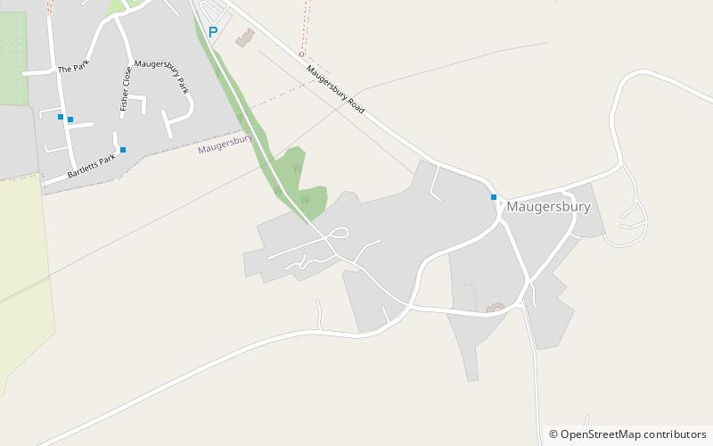
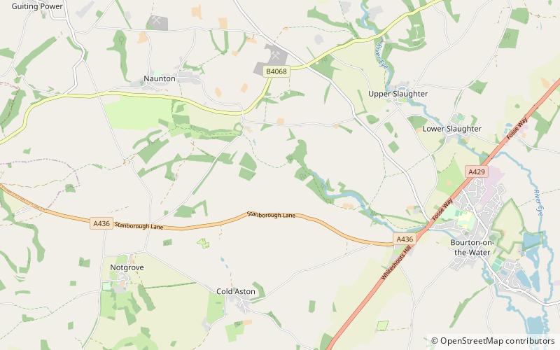
Harford Railway Cutting, Bourton-on-the-Water

#6 among attractions in Bourton-on-the-Water

Sightseeing
Harford Railway Cutting location map
Map

Facts and practical information

Coordinates: 51°53'42"N, 1°48'16"W
Address

Bourton-on-the-Water United Kingdom

ContactAdd
Social media
Add
Day trips

Harford Railway Cutting – popular in the area (distance from the attraction)

Nearby attractions include: Oxfordshire Way, Birdland Park and Gardens, St Edward's Church, Cotswold Motoring Museum.

  • oxfordshire way bourton on the water2.1 miE
  • birdland park and gardens bourton on the water2.4 miSE
  • st edwards church barton on the heath4.2 miNE
  • cotswold motoring museum bourton on the water2.1 miE
  • st michaels and all angels church cotswold water park3 miNW
  • maugersbury manor barton on the heath location map
    4.4 miNE
  • cotswold perfumery bourton on the water2.1 miE
  • lower swell war memorial cotswold water park3.3 miNE
  • lark wood cotswold water park3.3 miNW
  • icknield street bourton on the water1.7 miE
  • abbotswood barton on the heath4 miNE

Where to next? Visit england England region page or discover the top tourist attractions in United Kingdom.