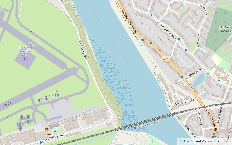
Adur Estuary, Shoreham-by-Sea
Map

Map

Facts and practical information
Adur Estuary is a 62.2-hectare biological Site of Special Scientific Interest on the western outskirts of Shoreham-by-Sea in West Sussex. Part is a Royal Society for the Protection of Birds nature reserve. ()
Coordinates: 50°50'10"N, 0°17'10"W
Address
Shoreham-by-Sea
ContactAdd
Social media
Add
Day trips
Adur Estuary – popular in the area (distance from the attraction)
Nearby attractions include: St Mary de Haura Church, Lancing College Chapel, St Nicolas Church, Shoreham Town Hall.
Frequently Asked Questions (FAQ)
Which popular attractions are close to Adur Estuary?
Nearby attractions include St Nicolas Church, Shoreham-by-Sea (9 min walk), Shoreham Tollbridge, Shoreham-by-Sea (9 min walk), St Peter's Church, Shoreham-by-Sea (12 min walk), Shoreham Town Hall, Shoreham-by-Sea (13 min walk).
How to get to Adur Estuary by public transport?
The nearest stations to Adur Estuary:
Bus
Train
Bus
- North End • Lines: 2, 59, 60 (4 min walk)
- Swiss Cottage Pub • Lines: 2, 59, 60 (6 min walk)
Train
- Shoreham-by-Sea (17 min walk)


