As-Salafi Mosque, Birmingham
Map
Facts and practical information
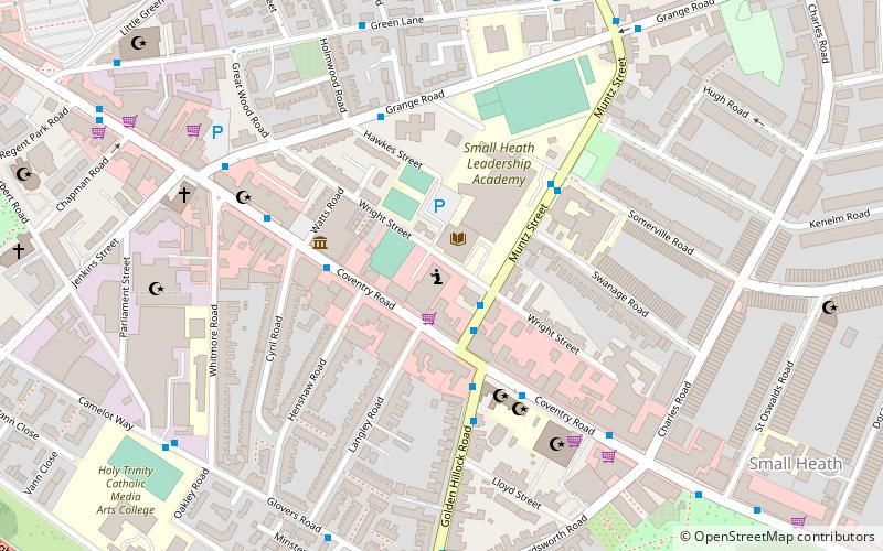
The As-Salafi Mosque, also known as "The Salafi Mosque" or "Wright Street", is a Salafi mosque founded in 2002 and located in the Small Heath area of Birmingham, metres from the intersection of Muntz and Wright Streets and just behind Coventry Road. The mosque is contained within the same building and connected to the registered charity and Islamic materials publisher Salafi Publications and the "SalafiBookstore". ()
Coordinates: 52°28'13"N, 1°51'30"W
Address
NechellsBirmingham
ContactAdd
Social media
Add
Getting there by public transportation
Public transportation stops near this location
- Bus
- Train
 Bus
Bus
- Calculate routeBordesley Green / Victoria St 12 min walk
- Calculate routeCoventry Rd / Bordesley Rail Station 22 min walk
- Calculate routeSmall Heath 12 min walk
- Calculate routeBordesley 22 min walk
- Calculate routeAdderley Park 23 min walk
- Calculate routeShakespeare Line Warwick Road 33 min walk
Day trips


Frequently Asked Questions (FAQ)
Which popular attractions are close to As-Salafi Mosque?
Nearby attractions include Jami Masjid and Islamic Centre Birmingham, Birmingham (5 min walk), St Oswald's Church, Birmingham (8 min walk), Green Lane Masjid, Birmingham (8 min walk), All Saints' Church, Birmingham (9 min walk).
How to get to As-Salafi Mosque by public transport?
The nearest stations to As-Salafi Mosque:
Bus
Train
Bus
- Bordesley Green / Victoria St • Lines: 97 (12 min walk)
- Coventry Rd / Bordesley Rail Station • Lines: X1, X2 (22 min walk)
Train
- Small Heath (12 min walk)
- Bordesley (22 min walk)