Priesthill, Glasgow
Map

Map

Facts and practical information
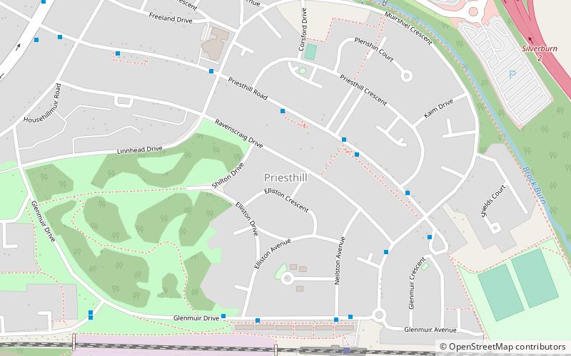
Priesthill is a neighbourhood in the south of the River Clyde in the Scottish city of Glasgow. It falls under the Greater Pollok ward of the city council area. The Darnley neighbourhood is located to the south, on the opposite side of the Glasgow South Western Line railway, while Nitshill lies to the west and Househillwood and the Silverburn Centre shopping complex to the north. The M77 motorway runs to the east of Priesthill with open farmland beyond. ()
Coordinates: 55°48'54"N, 4°20'40"W
Address
PriesthillGlasgow
ContactAdd
Social media
Add
Day trips
Priesthill – popular in the area (distance from the attraction)
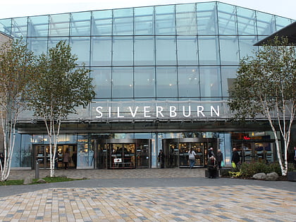
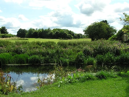
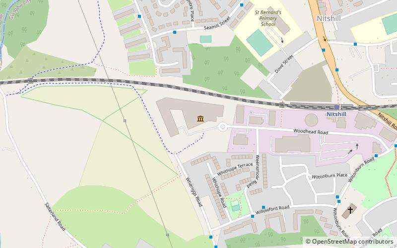
Nearby attractions include: Pollok House, Silverburn Shopping Centre, Pollok Country Park, Glasgow Museums Resource Centre.
Frequently Asked Questions (FAQ)
Which popular attractions are close to Priesthill?
Nearby attractions include Darnley, Glasgow (12 min walk), Househillwood, Glasgow (14 min walk), Cowglen, Glasgow (15 min walk), Nitshill, Glasgow (16 min walk).
How to get to Priesthill by public transport?
The nearest stations to Priesthill:
Train
Bus
Train
- Priesthill & Darnley (6 min walk)
- Nitshill (17 min walk)
Bus
- Barrhead Road / Damshot Road • Lines: 3 (16 min walk)


