Deaconsbank, Glasgow


Facts and practical information
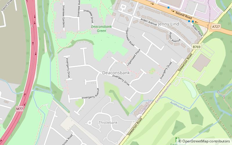
Deaconsbank is a neighbourhood in the Scottish city of Glasgow. It is situated south of the River Clyde. The main feature of the area, which falls into the Greater Pollok ward of Glasgow City Council and directly borders the East Renfrewshire council region, is an estate of around 639 private houses built in the late 1970s by Barratt Developments, prior to which the area was open farmland. Deaconsbank is bordered by the M77 motorway to the west and by Rouken Glen Park and golf course to the east. The northern parts of the suburban town of Newton Mearns are a short distance to the south, as is Patterton railway station. ()
Jenny LindGlasgow
Deaconsbank – popular in the area (distance from the attraction)
Nearby attractions include: Rouken Glen Park, Nitshill, South Nitshill, Darnley.
Frequently Asked Questions (FAQ)
Which popular attractions are close to Deaconsbank?
How to get to Deaconsbank by public transport?
Bus
- Nitshill Road / Spiersbridge Avenue • Lines: 38 (7 min walk)
Train
- Patterton (16 min walk)
- Whitecraigs (25 min walk)


